Editorial Note: This post covering the Public Lands Ride – 2020: Bald Eagle State Forest Routes is one in a series. Start by reading what the PEC Public Lands Ride is all about.
R.B. Winter State Park/Bald Eagle State Forest Route
The Hub’s Quick Take
The R.B. Winter State Park/Bald Eagle State Forest route may be one of the best tracks we have ever ridden! Make no mistake, there is a lot of climbing, but you are rewarded with vistas, screaming downhills, swooping bends, and that feeling that you are one with nature. Most of the route is smooth, fast gravel, with the exception of Walters Road. It is chunky and rough, but such a great road to suffer on. Once you reach the top of the climb, take it all in. You’ll know what we mean when you reach Yarison Road. It is apparent that there is so much to explore in this area, including more gravel and hiking and mountain biking. This route was our introduction to an area that needs to be frequented. We hope you’ll agree.
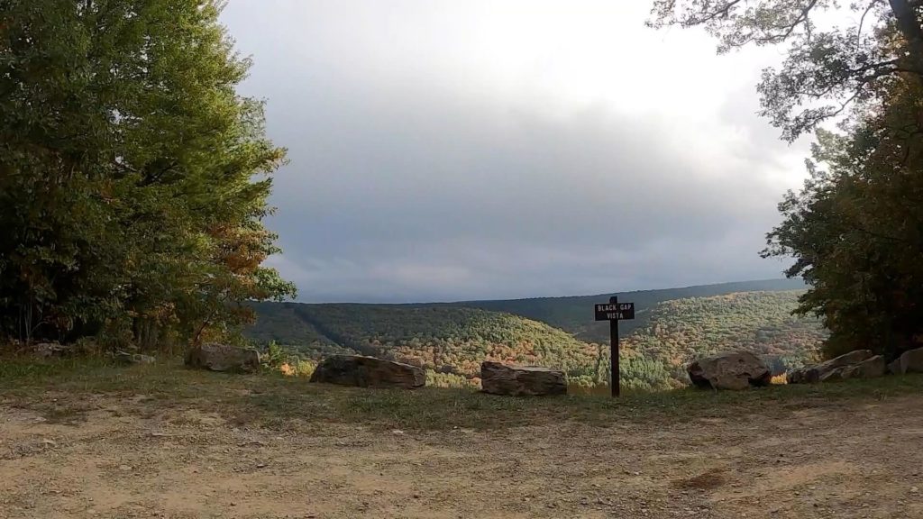
Check out PEC’s blow-by-blow of the route for way more detail. Check out The Hub’s capture of the terrain, via the pics below.
Terrain by Picture
Route
Reeds Gap State Park/Bald Eagle State Forest Route
The Hub’s Quick Take
The Reeds Gap State Park/Bald Eagle State Forest route is not far behind the R.B. Winter State Park route as one of the best we have ridden. The PEC blog is spot on when it describes the route as having vistas galore! Not only that, but you get the perfect mix of terrain . . . mostly gravel, a bit of gnar, and little pavement to connect everything up. Although this route is in the general vicinity of the roads that comprise the unPAved of the Susquehanna River Valley gravel event (check out The Hub’s post on unPAved – 2019), the Public Lands Ride route keeps it fresh and gets you explorin’ different roads in the area.
We made a weekend out of the Bald Eagle State Forest routes. We hit the R.B. Winter route on Saturday, camped at Poe Valley State Park, and started the Reeds Gap route from Poe Valley. The only catch to this deviation is that you have the Siglerville-Millheim (S&M) Pike climb as the grand finale to the two-day (or long one-day) affair.
Check out PEC’s blog for a deeper dive into the route. Check out The Hub’s picture summary of the terrain below.
Terrain by Picture
Route
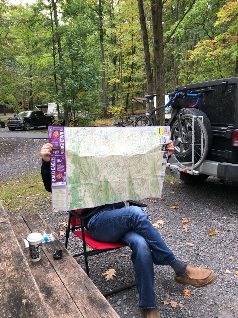
We know this is a pattern, but Purple Lizard Maps has you covered with the the Bald Eagle State Forest map so you don’t get lost, or if you want to explore the area a little deeper. We used it pre-ride on the Reeds Gap route.

This is the last post in the series for the Public Lands Ride – 2020. Check out our Laurel Ridge State Park/Forbes State Forest Route or the introductory Public Lands Ride post for links to the others in the series. Stay tuned for The Hub’s take on the 2021 in-person event and Elk State Forest route.
Also, make sure you keep up-to-date on all The Hub’s content by following us on social media (links on the top and bottom of this page), and by entering your info into the Newsletter signup (to the right and bottom).


