Editorial Note: This post covering the Public Lands Ride – 2020: Moshannon State Forest Routes is one in a series. Start by reading what the PEC Public Lands Ride is all about.
Parker Dam State Park/Moshannon State Forest Route

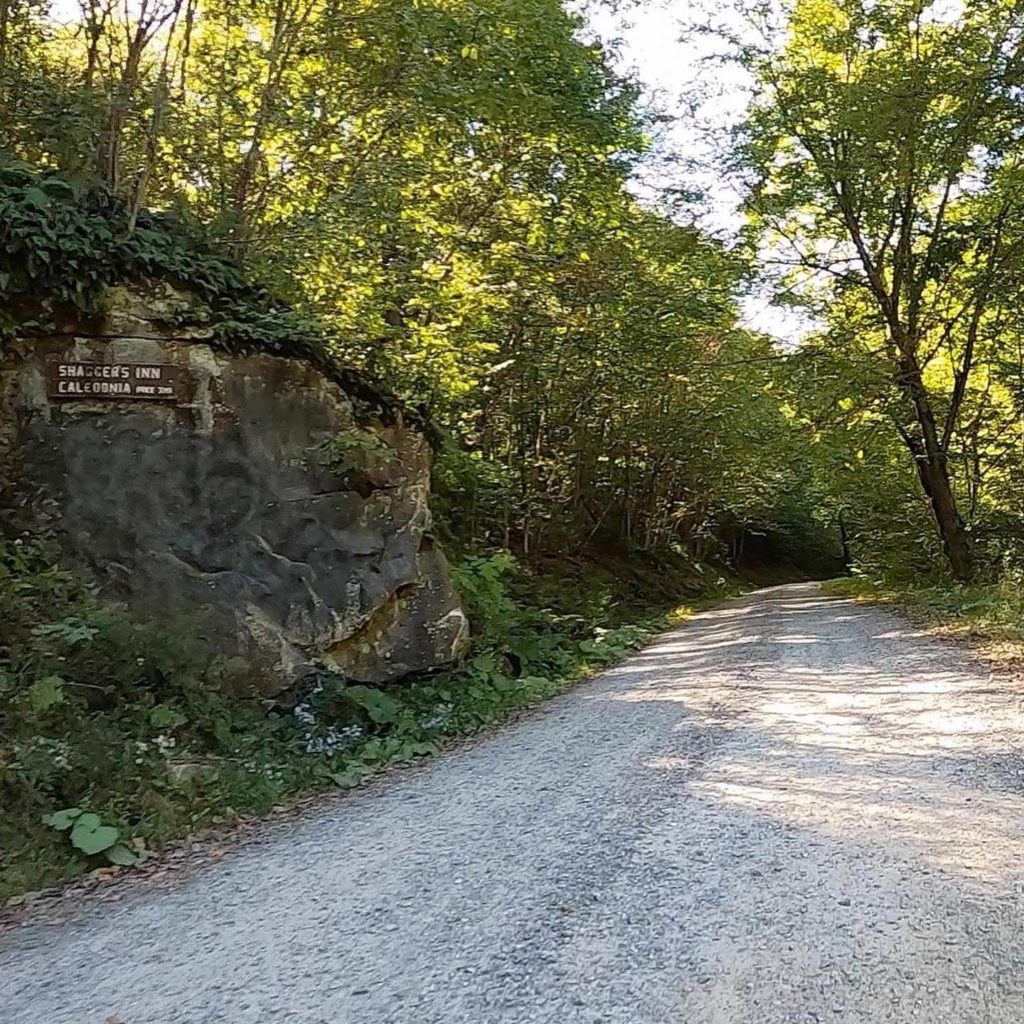
To Shagger’s Inn 
Shagger’s Inn Lean
The Hub’s Quick Take
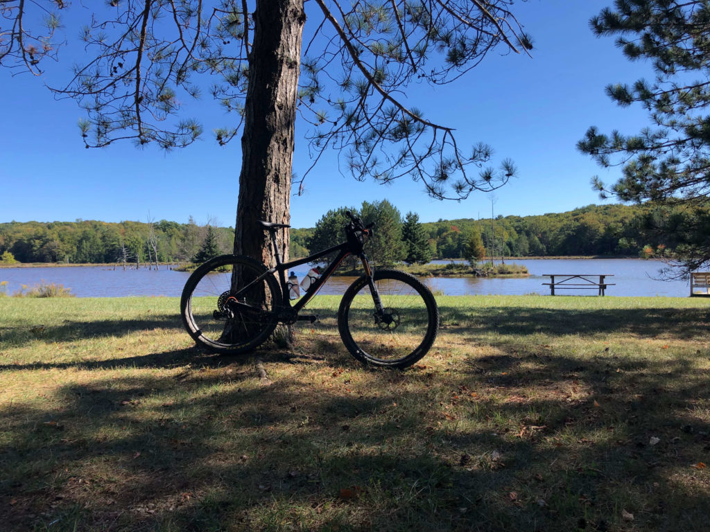
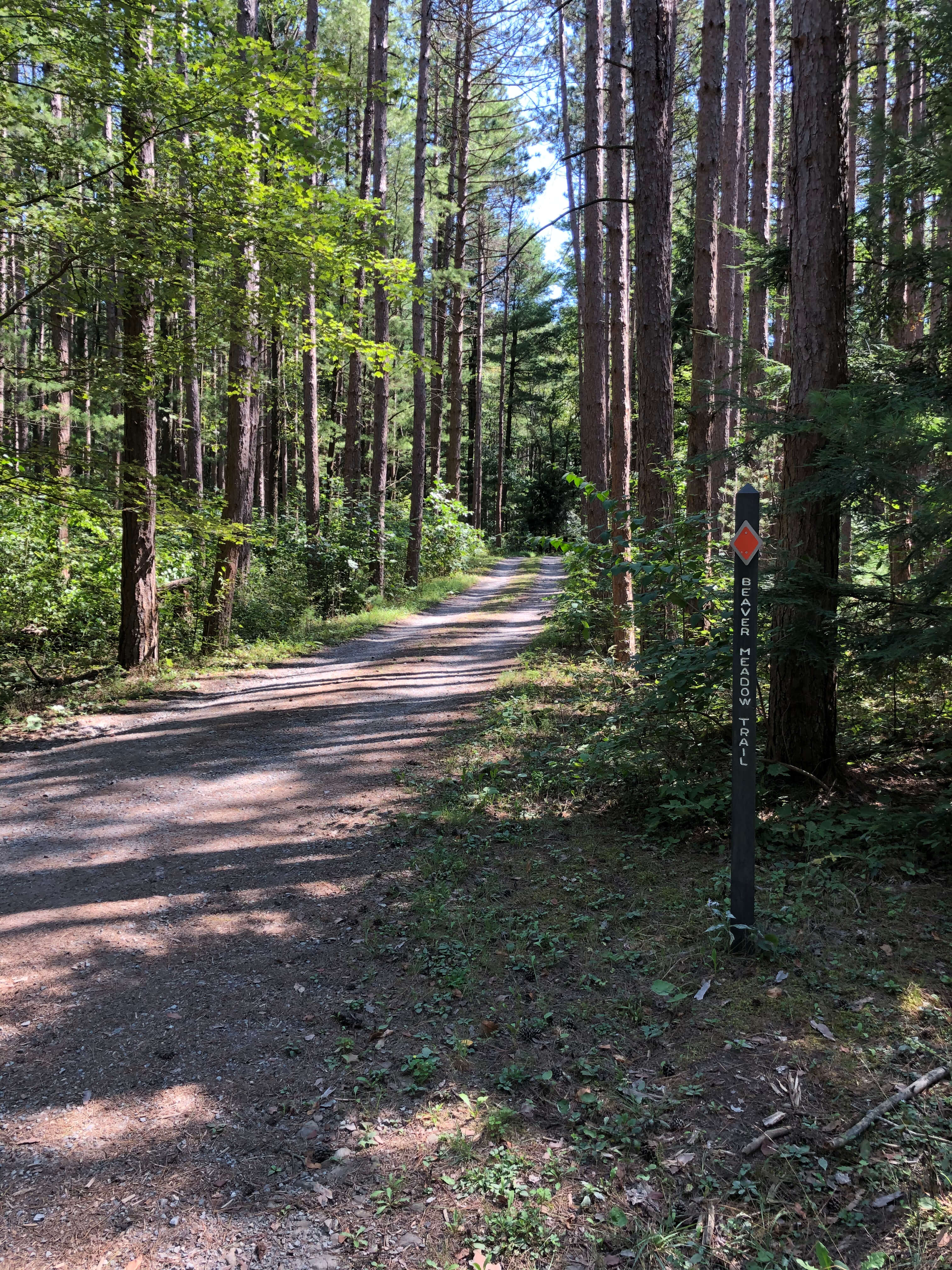
As one of the “easiest” routes, most of the terrain in Parker Dam State Park and the surrounding Moshannon State Forest is smooth and fast gravel and dirt with some grassy doubletrack and pavement thrown in the mix. The route is just southwest of Benezette in Elk County, which is home to Pennsylvania’s elk population. There is definitely the potential to see one while out there. For us, the highlight was the sunshine and blue skies you experience while on route. Although there is shade, you will definitely get to enjoy some open skies. No route in the area is complete without a stop at Shagger’s Inn, which is a wetland habitat full of various wildlife, including nesting areas for osprey.
Terrain by Picture
For more, check out PEC’s description. The Friends of Parker Dam State Park steward this area, please consider donating.
Route
Black Moshannon State Park/Moshannon State Forest Route

The Hub’s Quick Take
Black Moshannon State Park is in a great area of the surrounding Moshannon State Forest, and we see why it is home base for the Public Lands Ride. The highlight for us was Gorton Road, which is a cool trail/road with a stream crossing and some gnar. Many of the other sections of gravel are prime to rip. Two notes to keep in mind: (1) We rode this route on a pretty hot and sunny September day. It is definitely more exposed to the sun than the other routes. Plan accordingly. (2) The course is fairly smooth with some extended sections of pavement and “rough” rail trail for most of the route north of I-80. This, in conjunction with the other sections of ripping gravel, makes this route well-suited for a gravel bike.
For all the deets, see PEC’s post. And . . . consider donating to the folks that make the place special, the Friends of Black Moshannon.
Terrain by Picture
Route
For alternative route options, check out Purple Lizard Maps, Moshannon-Quehanna Map.
Thanks for reading this post on the Public Lands Ride – 2020: Moshannon State Forest Routes. The next route in the series is the Trough Creek State Park/Rothrock State Forest Route. Also, make sure you keep up-to-date on all The Hub’s content by following us on social media (links on the top and bottom of this page), and by entering your info into the Newsletter signup (to the right and bottom).


