We are thrilled to release the Laurel Highlands Gravel Routes Collection. The routes in this collection traverse The Hub’s back yard and are near to where JB grew up, which is about 60 miles southeast of Pittsburgh, PA.
The focus of the collection is on the public lands of Forbes State Forest and its accompanying state parks, and the mountain and farm country surrounding them. The collection currently includes 15 routes that explore much of the forest.
Read on to dive into the details of the routes in Laurel Highlands Gravel Routes Collection. Also, make sure to check back on the collection. There is more to explore and add to the collection!
Table of Contents
Laurel Highlands Gravel Video
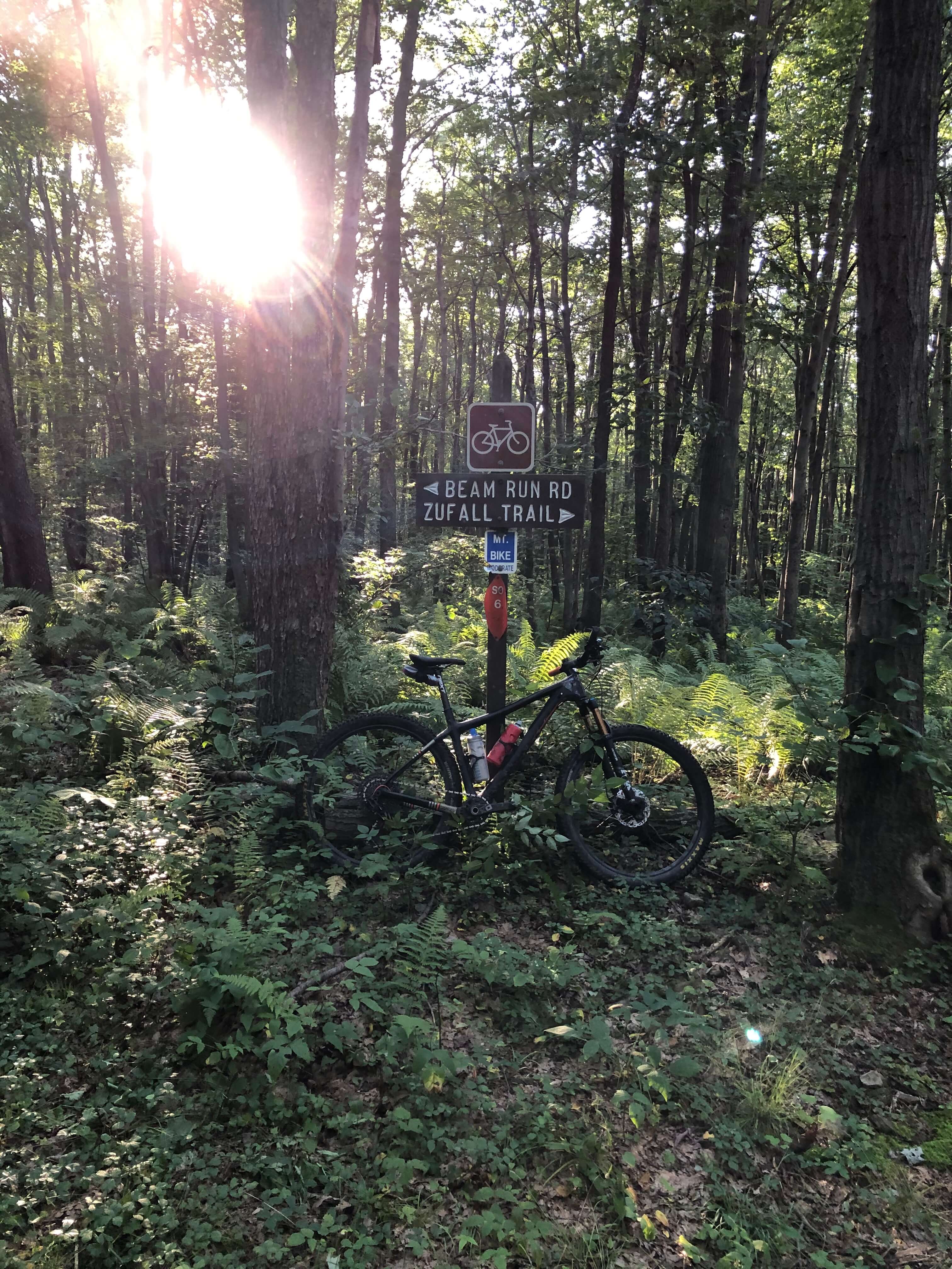
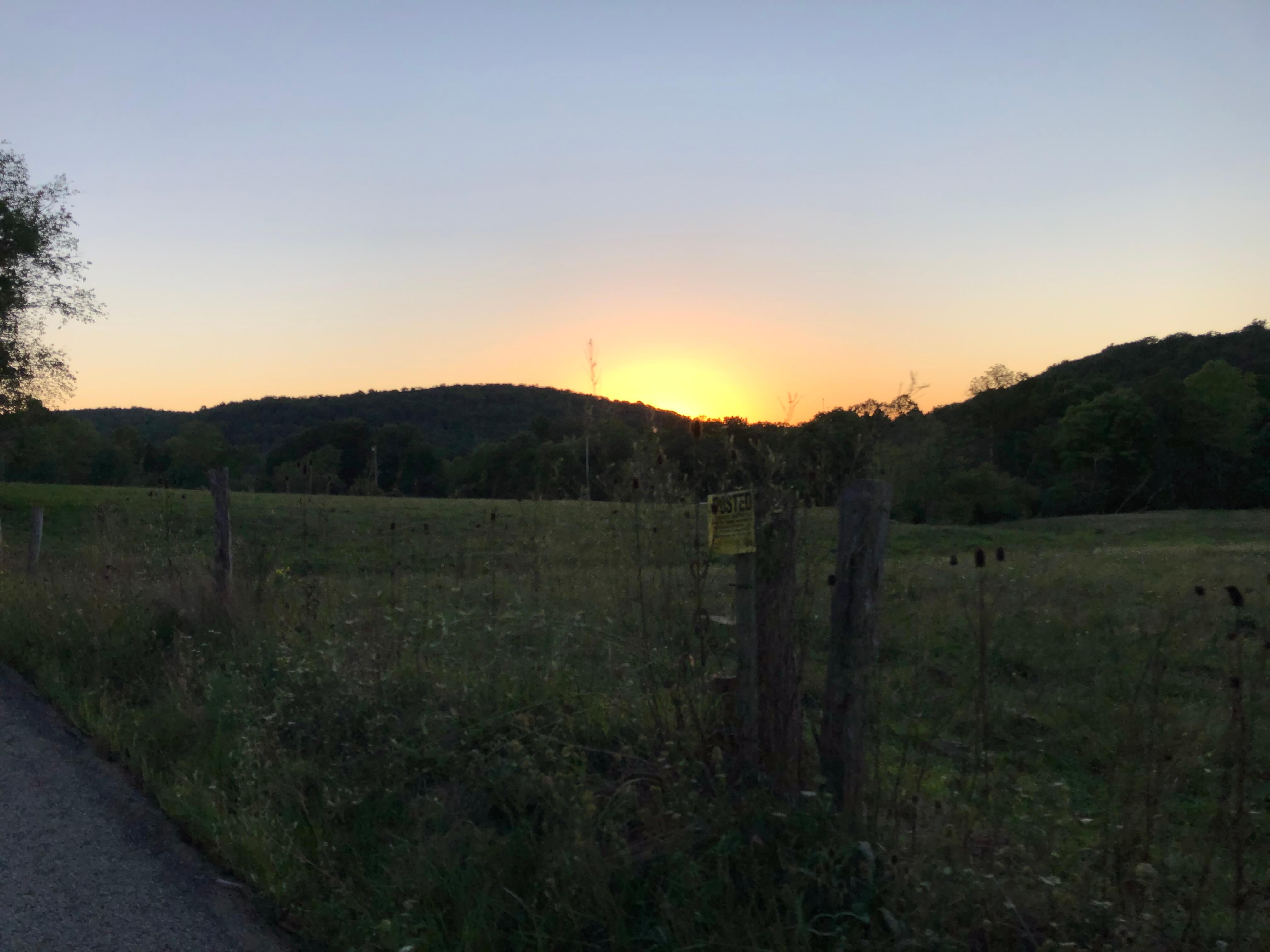
The image below contains a link to The Hub’s YouTube video where JB briefly describes the routes collection and introduces you to the representative terrain on the current routes. The video supplements this post.
Please do not forget to like the video, subscribe to the channel, and signup for alerts by clicking the bell.
Laurel Highlands Gravel Routes Collection Profile
- Current Route Count: 15
- Mileage: Varies from 25 miles to 69 miles
- Elevation: At least 1,000′ gained per 10 miles, sometimes a bit more
- Surface Estimate: Core routes (Laurel Mountain to Blue Hole) about 90%+ unpaved. A bit more pavement on the Ohiopyle routes (60-70% unpaved). A fair amount more pavement on the Quebec Run Wild Area route (30-40% unpaved).
- Gravel Category: 1-4 (See Industry Standard Guide to Gravel Summary)
- Bike Suggestion: Gravel or Hardtail MTB
- Tire Suggestion: 700×40 or greater
- Fuel Stops: Only on routes that cross Route 31 from Laurel Hill State Park via Jimtown Road. Depending on the time of year and weather conditions, there are plenty of water sources on route to filter your own water.


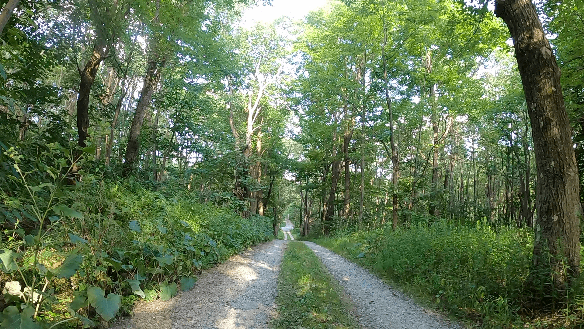
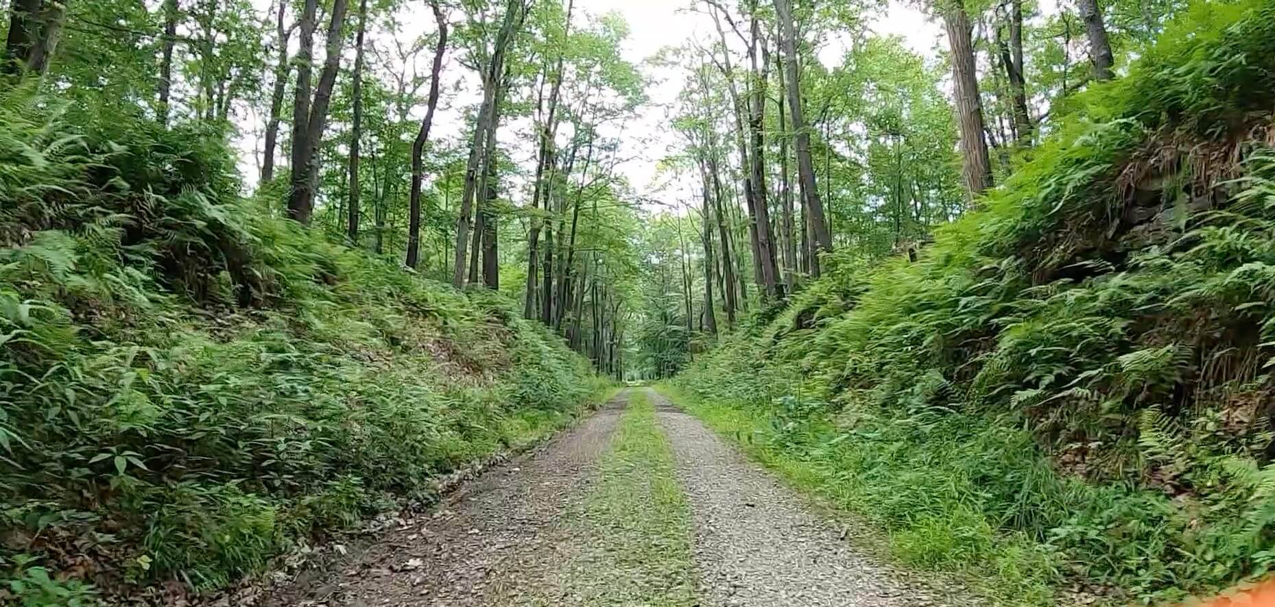
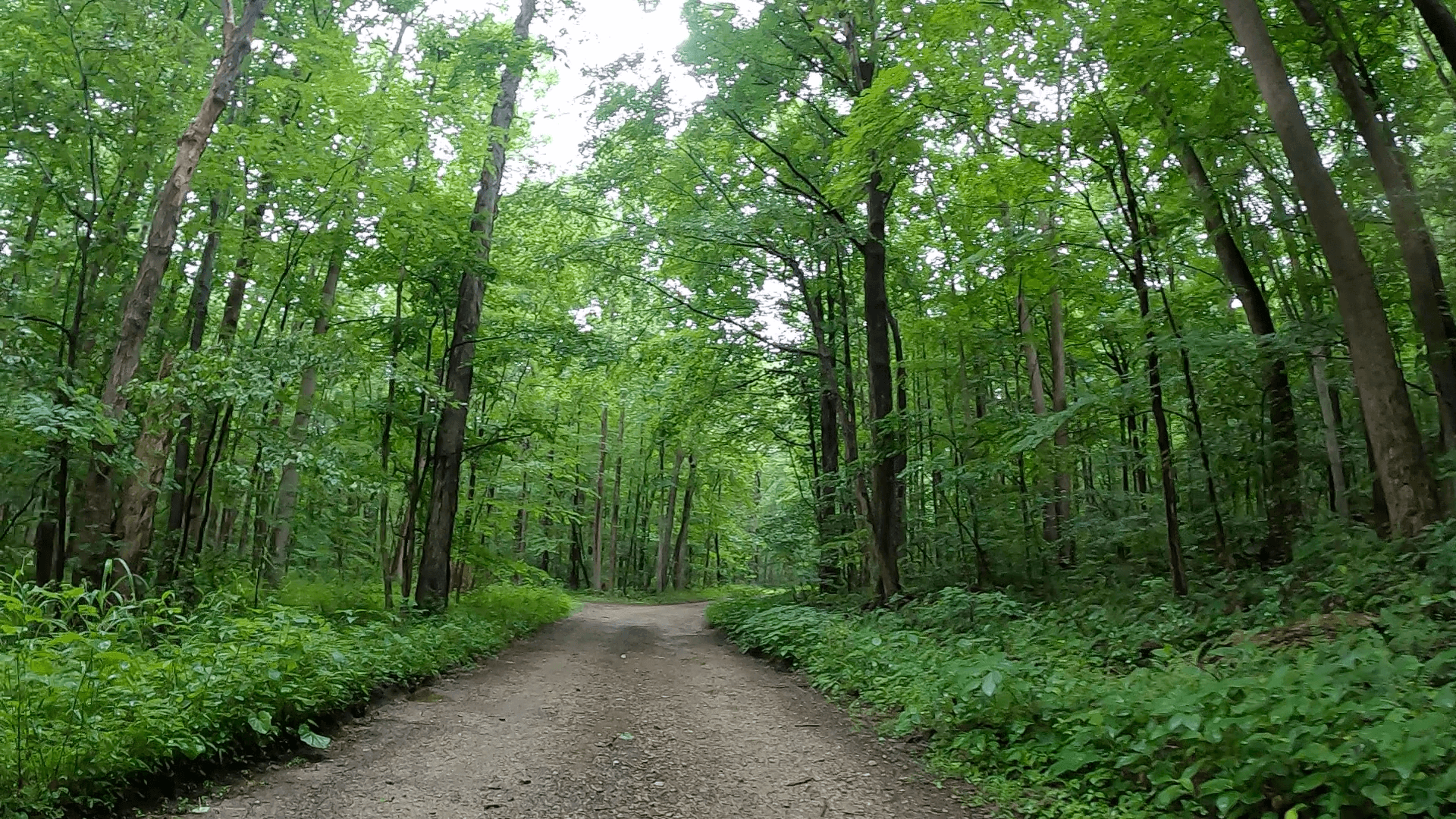
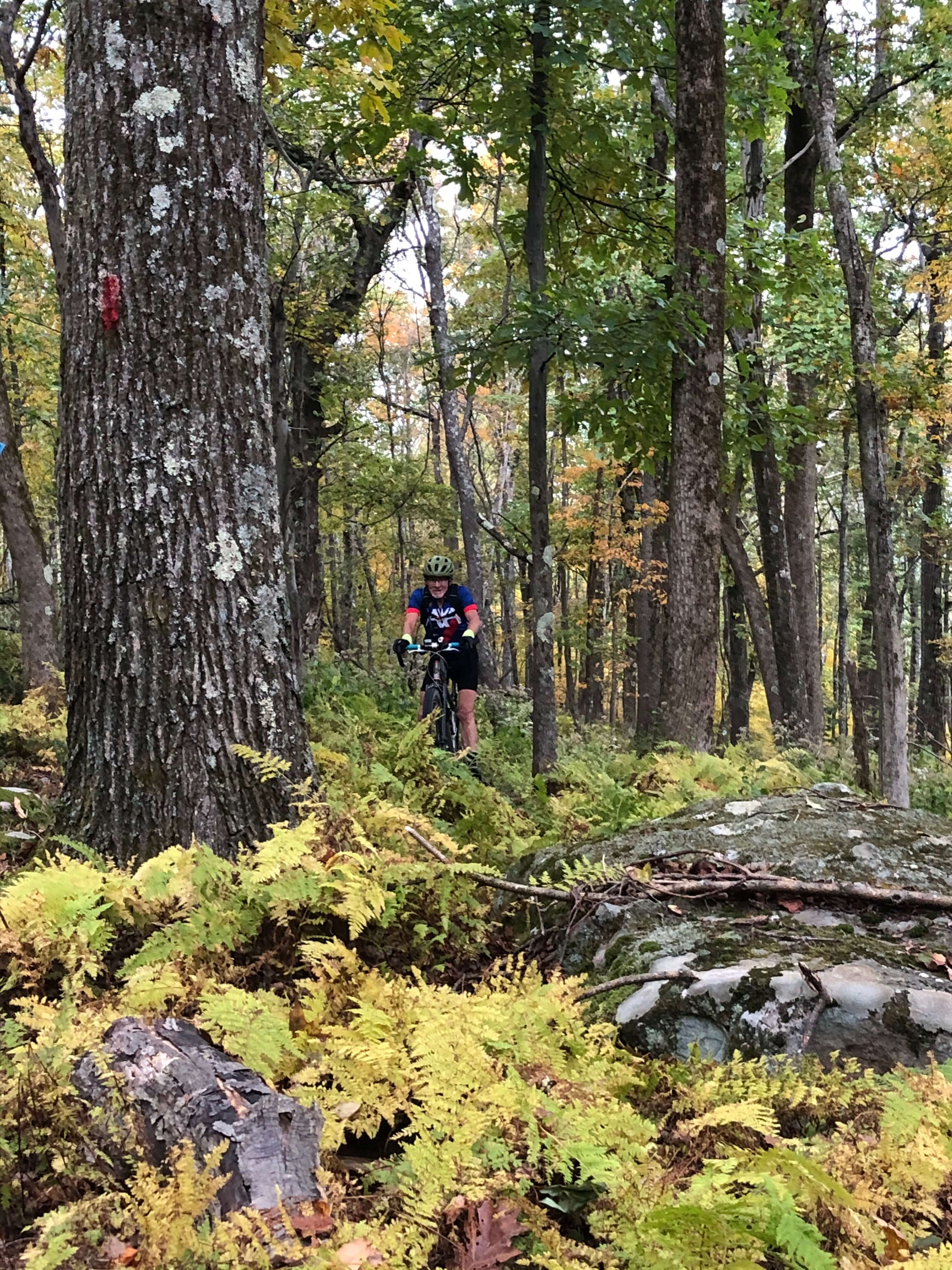
Description of the Terrain and Forest in the Laurel Highlands Gravel Routes Collection
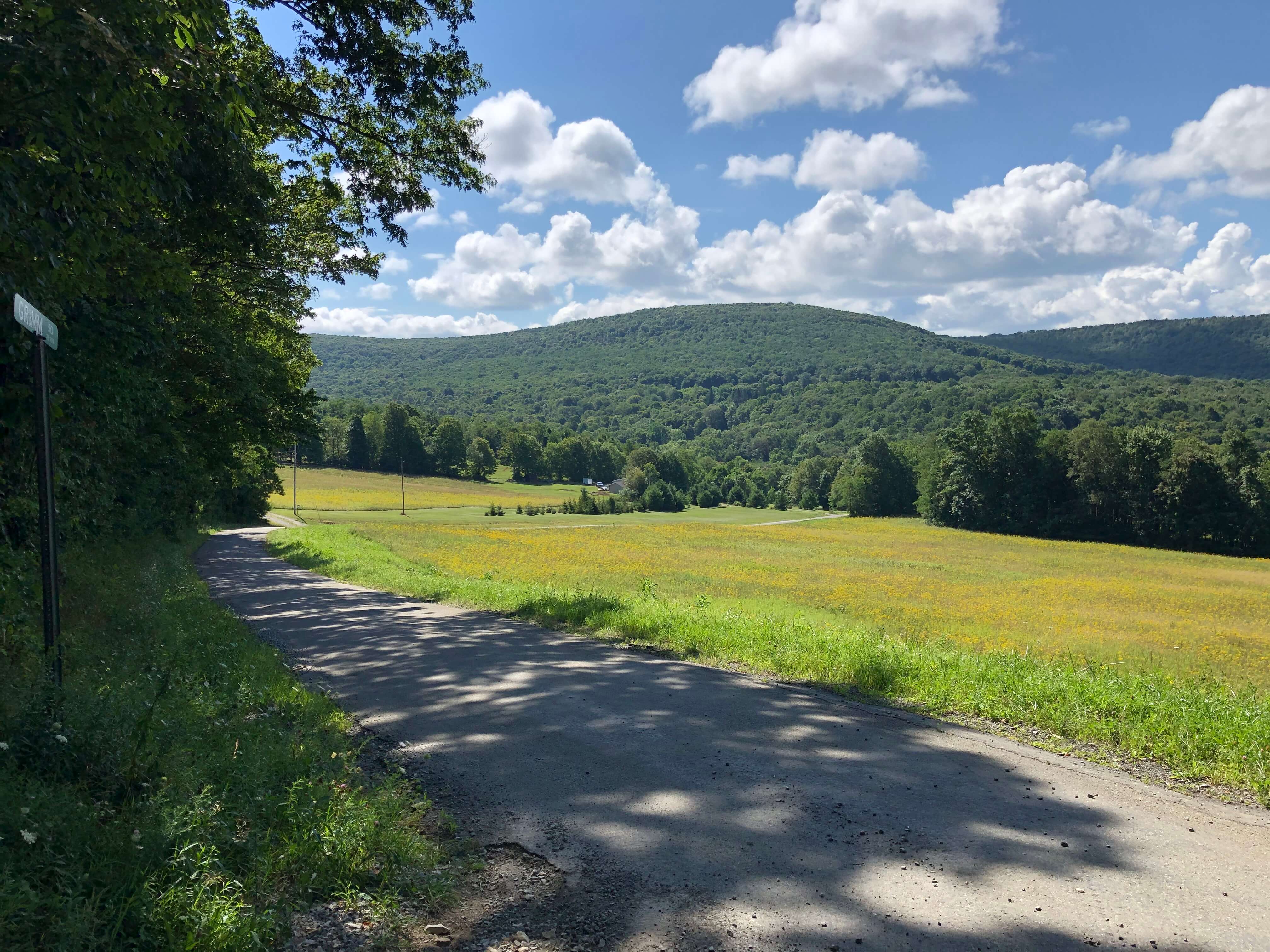
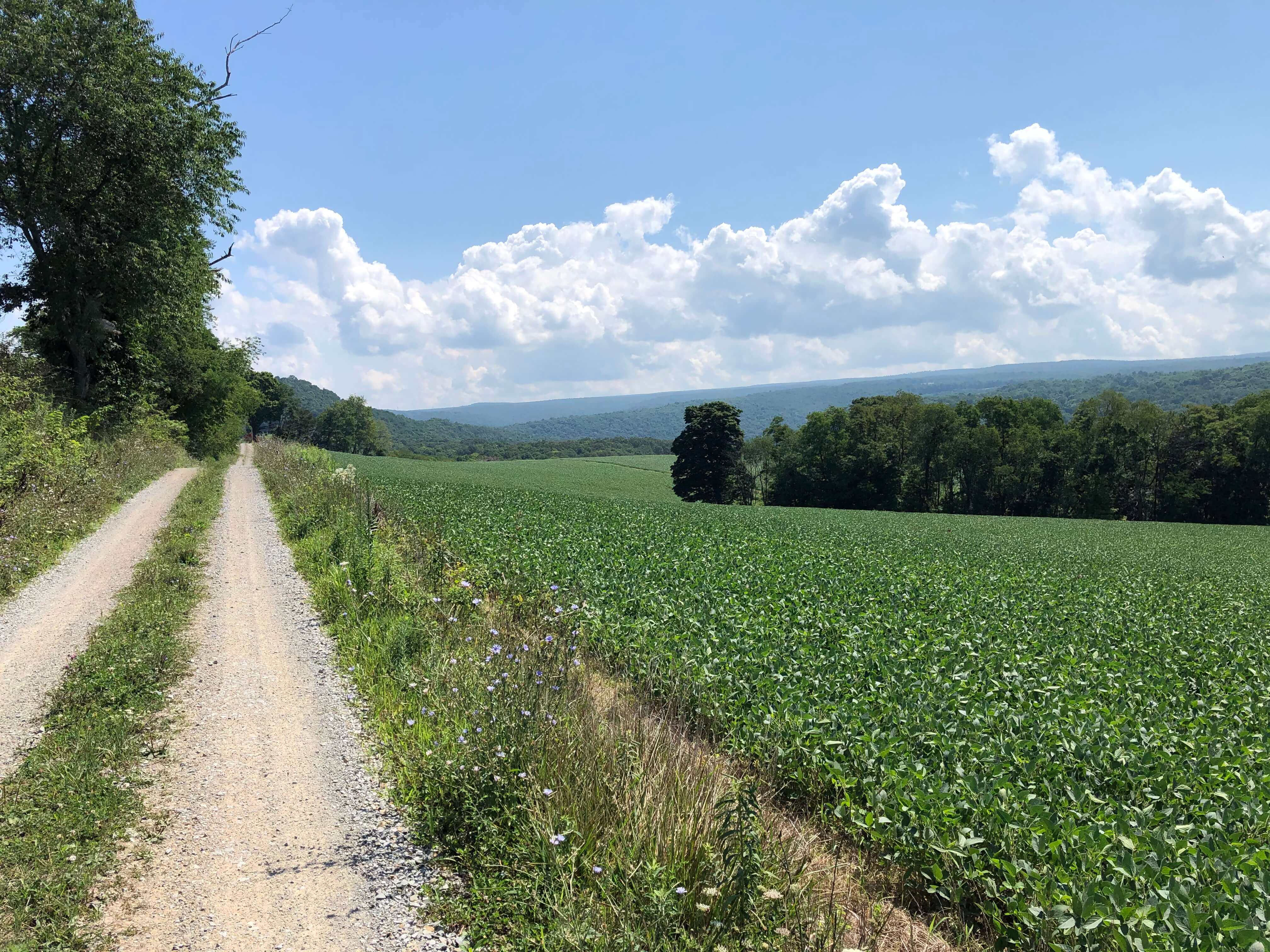
The routes in the Laurel Highlands Gravel Routes Collection explore the swaths of public land that comprise the Forbes State Forest. By way of background, the forest was founded in 1909 when the Commonwealth purchased land near Laurel Mountain from a timber company. The industrial heritage is still present today. Also, PA’s state forests are working forests, so you will see targeted timber harvesting today. The forest includes over 60,000 acres spread over Fayette, Westmoreland, and Somerset counties in pockets.
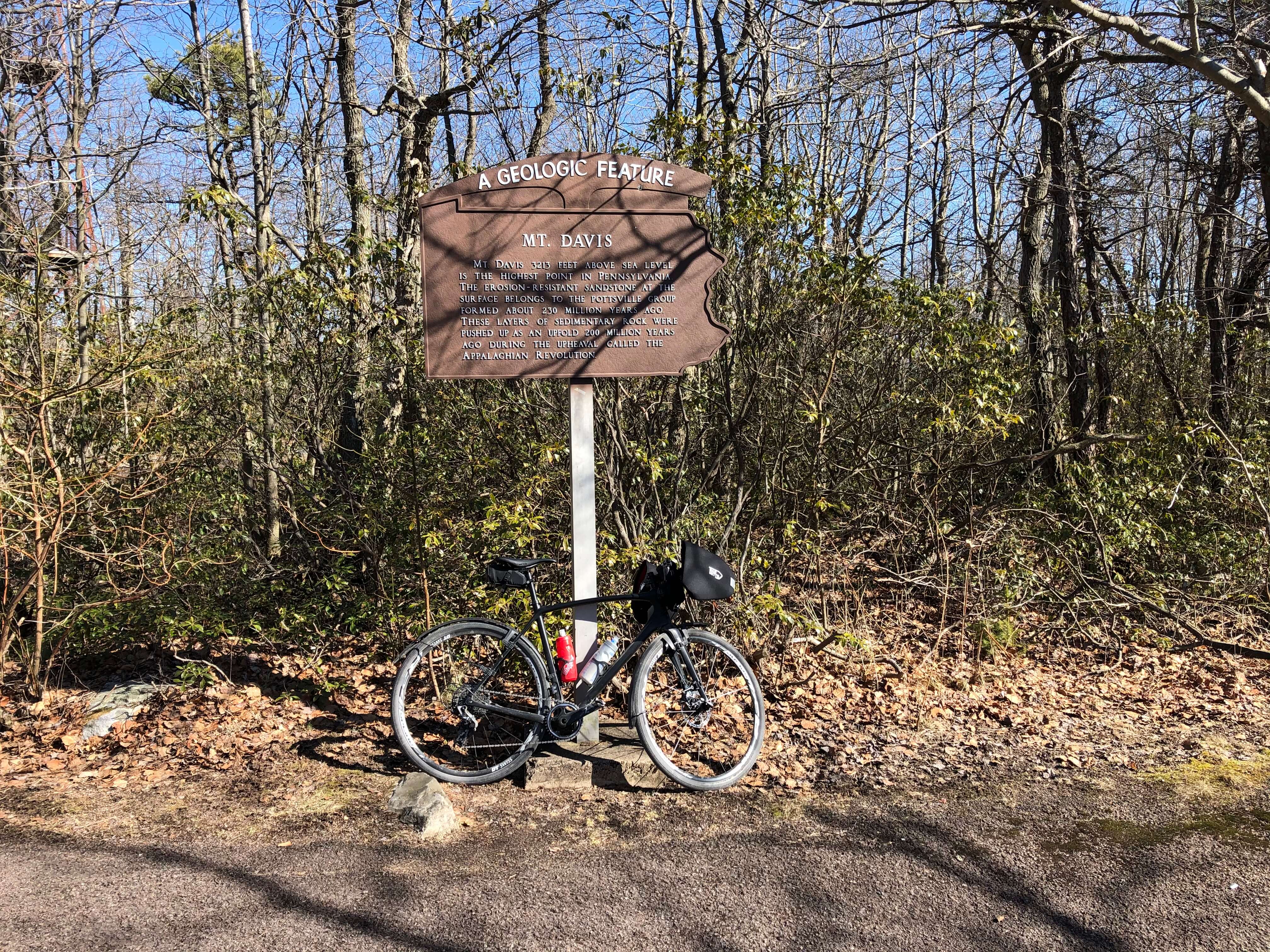
The routes in the collection traverse much of the forest. The furthest northern point is Laurel Mountain and the furthest south is the Quebec Run Wild Area. There are a couple of routes in the Ohiopyle area, including a climb to Mt. Davis (PA’s highest point at 3,213 feet).


Sections of the Forest
We think that the easiest way to break down the forest is by section. Everything north of the PA Turnpike we refer to as the Laurel Mountain area. Everything between the Turnpike and Route 31 we refer to as the Camp Run or Mt. Streams Trail area. The section south of Route 31 and that abuts it includes Seven Springs Mountain Resort, Laurel Hill State Park, and the Blue Hole forest district. Most of the routes take place on the roads and trails between these three areas. The two areas further south include Ohiopyle State Park and Quebec Run Wild Area. With this background, let’s dive into a brief description of each area.
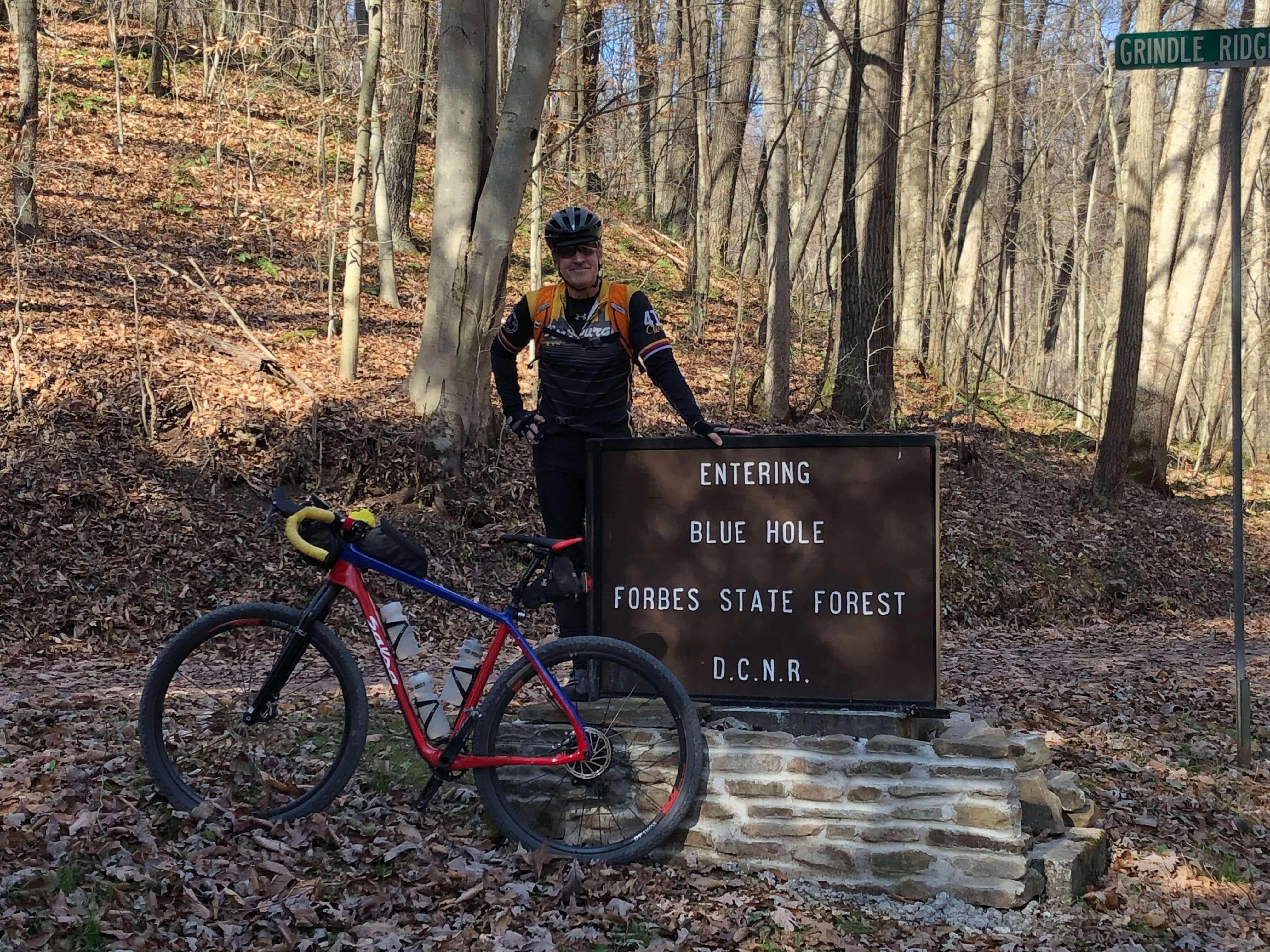
Core Area – Laurel Mountain to Blue Hole Creek
With the exception of one route that starts near Seven Springs, the core routes start from either the Camp Run Road lot (a/k/a Kregar Parking Lot) or the Fire Tower Road lot. The Camp Run lot is at the lowest point in the area. This lot is JB’s favorite place to park. It is easily accessible from the Turnpike and Route 31, and is about one hour from Pittsburgh. In addition, it is near the most peaceful and beautiful streams in the forest – hence being known as the Mt. Streams Trail area. He also likes the climbs that get you up the mountain from the Camp Run lot.
Climbs from Camp Run
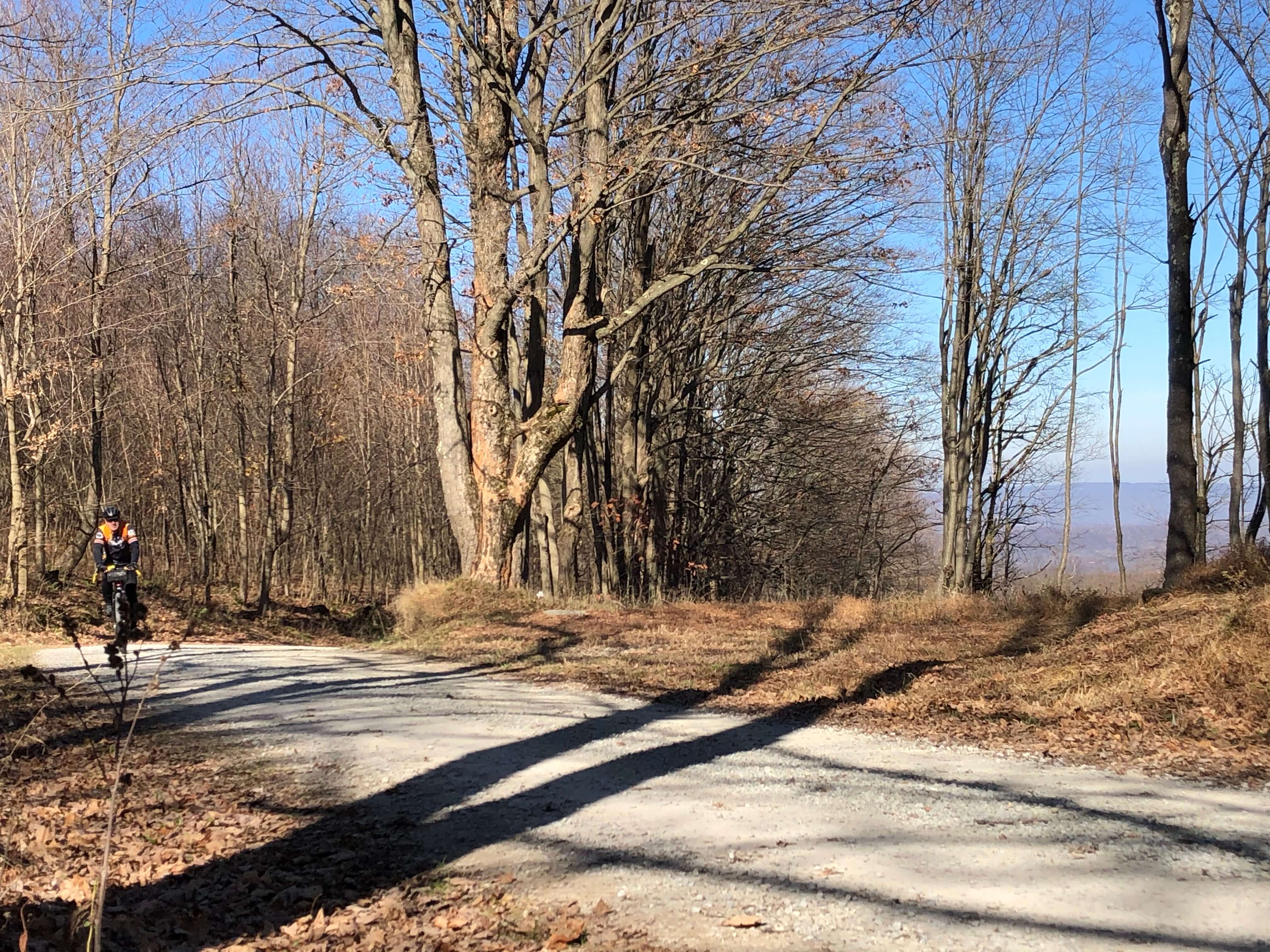
There are three primary climbs from the Camp Run lot. Each are, more or less, parallel to one another. The routes only use two of the three as climbs, but use all of them as descents back to the lot. Feel free to tweak any of the routes by swapping out your climb/descent from the Camp Run lot. The closest in proximity is the Camp Run Road climb. It abuts the lot and is fairly long with steep pitches. It consists of fairly well maintained gravel.
The next closest is the Aukerman Road climb. None of the routes use Aukerman proper as a climb. Some use it as a descent back to the Camp Run lot. If you decide to tweak a route to use Aukerman as a climb you’ll have a nice warmup heading north on the Mt. Streams Trail prior to hitting the Aukerman climb. But, be ready, Aukerman is the hardest way to get up the mountain in terms of both gradient and ruggedness of terrain. You can take some of the sting out of the Aukerman climb by turning left off of Aukerman just prior to where the gradient goes vertical. This left takes you back onto the Mt. Streams Trail. You’ll then take Mt. Streams to Skyview Road, turn right on Skyview, and climb it back to Aukerman. However, the detour is still tough as Skyview lives up to its name.
The easiest way to get up the mountain is via Felgar Road. It is the furthest north from the Camp Run lot and accessed by Mt. Streams, left on Skyview away from the climb referenced above, and right on Route 381. Felgar consists of fairly well maintained gravel. The back side descent of Felgar turns a bit rough before transitioning into a snowmobile trail.
The routes that climb from Camp Run either head toward Laurel Mountain, pass by the Fire Tower lot on the way towards Blue Hole, or return back to the lot. If you would like to complete a route that launches from Camp Run but want to do a bit less climbing, we suggest starting from the Fire Tower lot.
Top of Camp Run Climbs to Laurel Mountain
The Felgar Road climb is on the Laurel Mountain side of the Turnpike. It continues to climb gradually on the forest roads/snowmobile trails toward Laurel Summit. Some of the routes using Felgar go to the summit and others parallel the Turnpike and return to the lots without going that far north.
The Camp Run climb terminates on a snowmobile trail that connects it to Tunnel Road. Aukerman terminates at Tunnel Road. From Camp, you have a bit more climbing on Tunnel and will then meet the intersection of Tunnel and Aukerman. Tunnel Road is named as such because it leads to an old Turnpike tunnel that has since been bypassed. The tunnel is now privately owned. None of the routes actually take you to the tunnel.
Instead, you will head toward Laurel Mountain via some nice gravel and snowmobile trails above the tunnel. You cross above the Turnpike via the Laurel Highlands Hiking Trail bridge (bikes are permitted on the bridge, not on other parts of the trail), and will get some awesome views of the ridge line traversed by the Turnpike. For reference, you cross the Turnpike via Camp Run and Aukerman a little further east from where you would be if you used Felgar. Marshall Fields Trail will be your entrance to the Laurel Mountain area when using the Camp Run and Aukerman climbs. This snowmobile trail is where the Felgar climb takes you as well.
Many of these roads are also used in various combinations to get you back to the Camp Run and Fire Tower lots later in the routes.


Camp Run Directly to Blue Hole – Skipping the Climbs from Camp Run
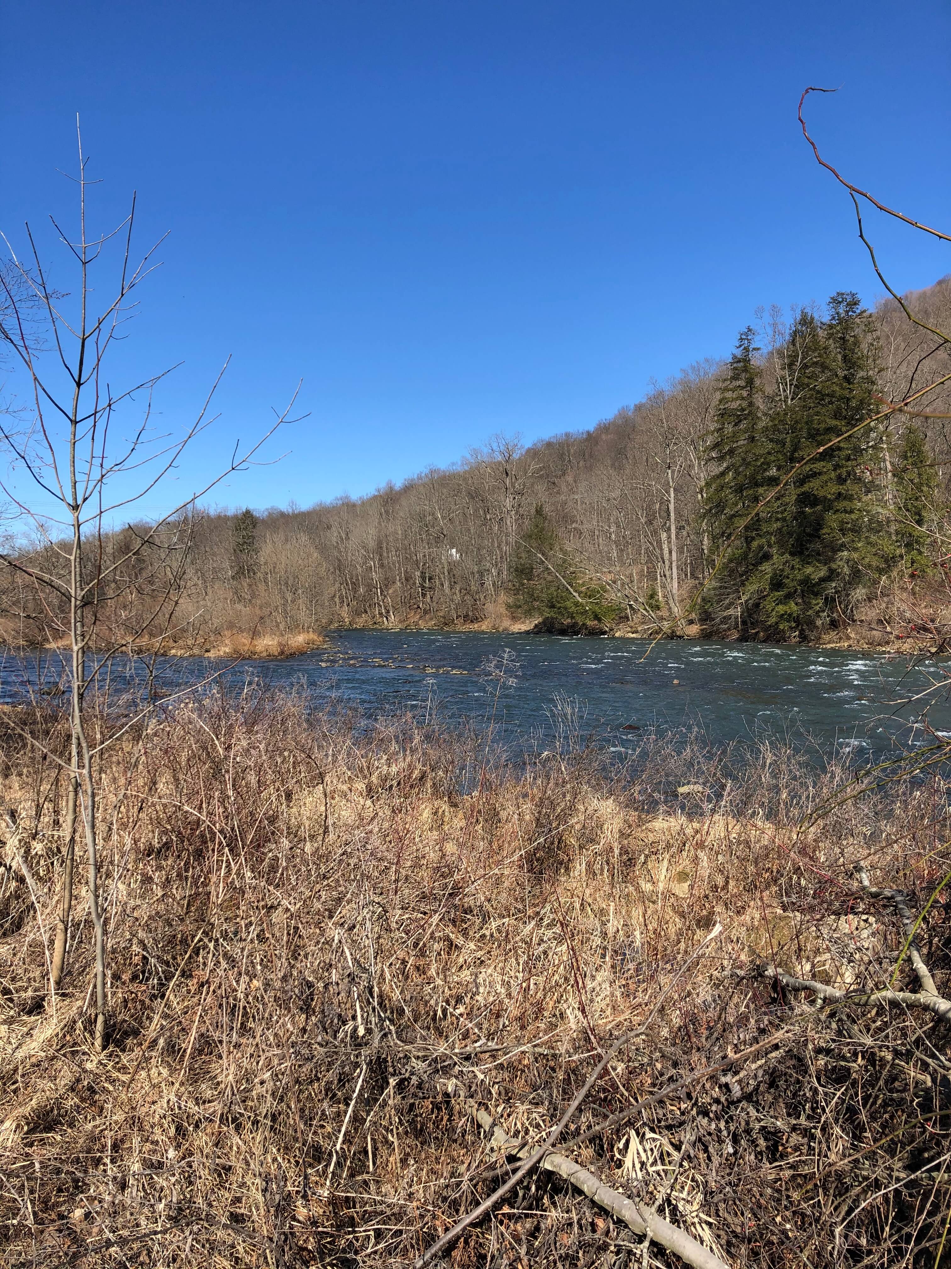
One route heads south from the Camp Run lot towards Blue Hole Creek bypassing the Camp Run climbs. The route starts out on a rustic rail grade/rail trail – Blair Bros Rail Grade and Indian Creek Valley Trail. This is a nice flat warmup before you hit the primary and properly hard climb to Blue Hole, poetically named Fowl Hill Road. Wrong spelling but correct concept. For more on it and the death march climb to Blue Hole, check out our report on the Public Lands Ride – 2020: Laurel Ridge State Park/Forbes State Forest Route.
To Blue Hole – Using the Camp Run Climbs or Directly from Fire Tower Lot
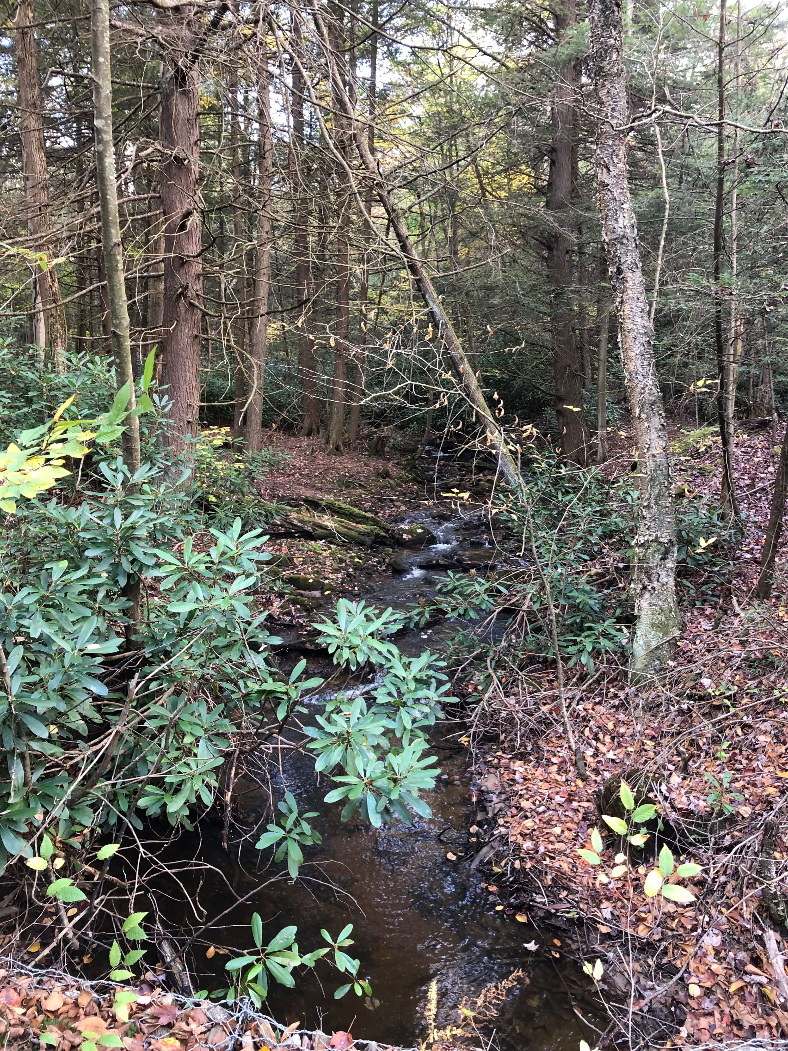
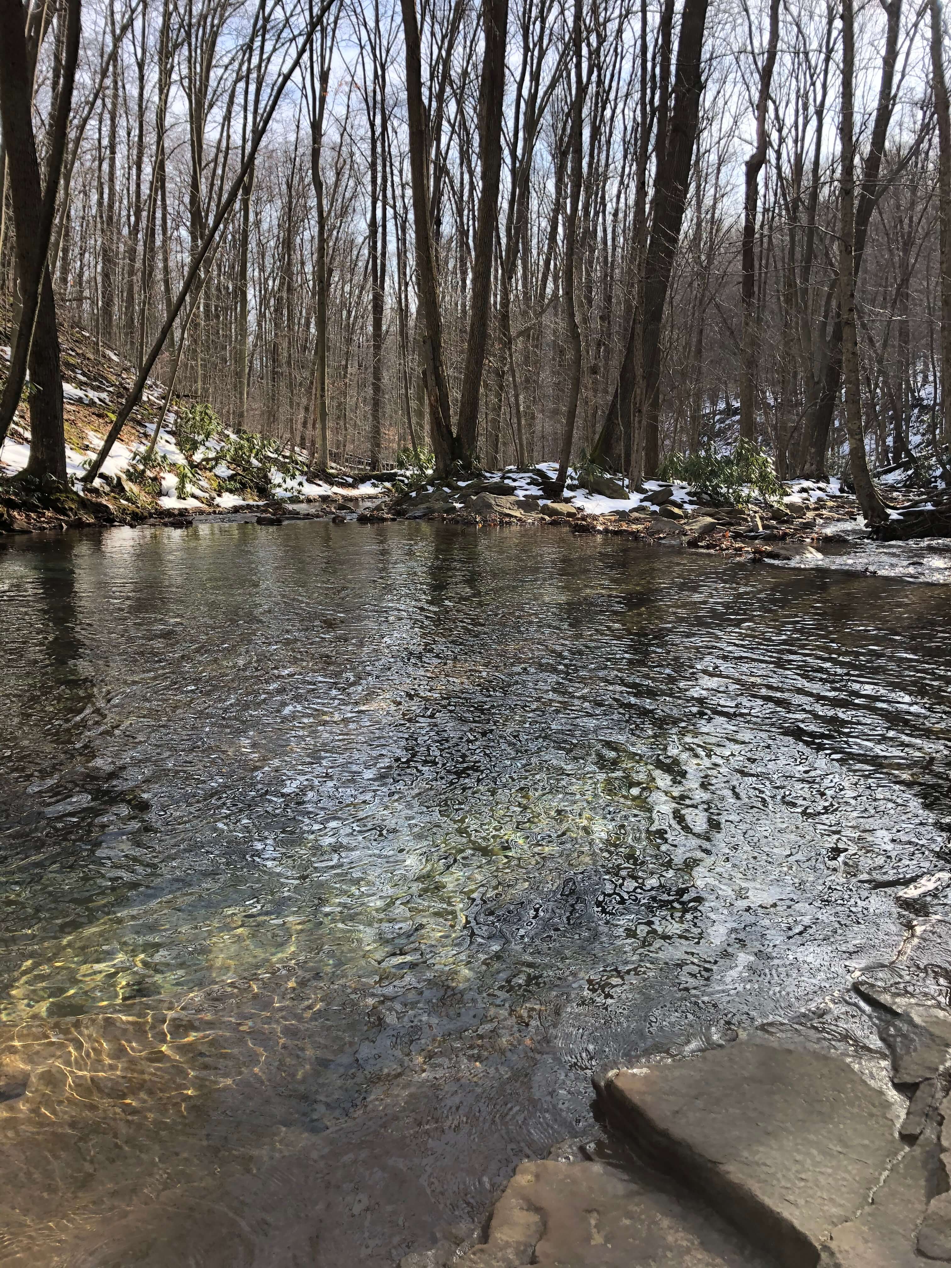
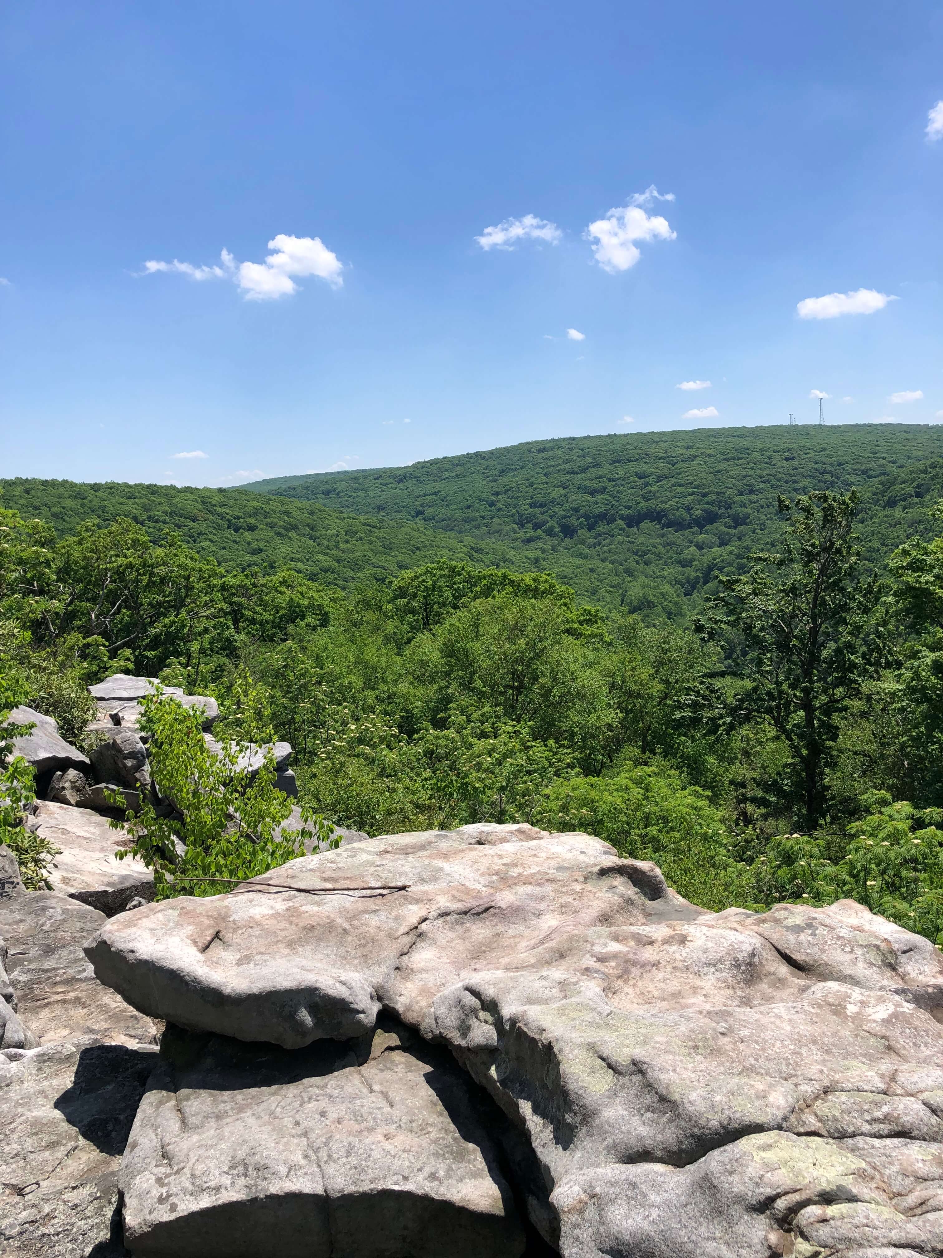
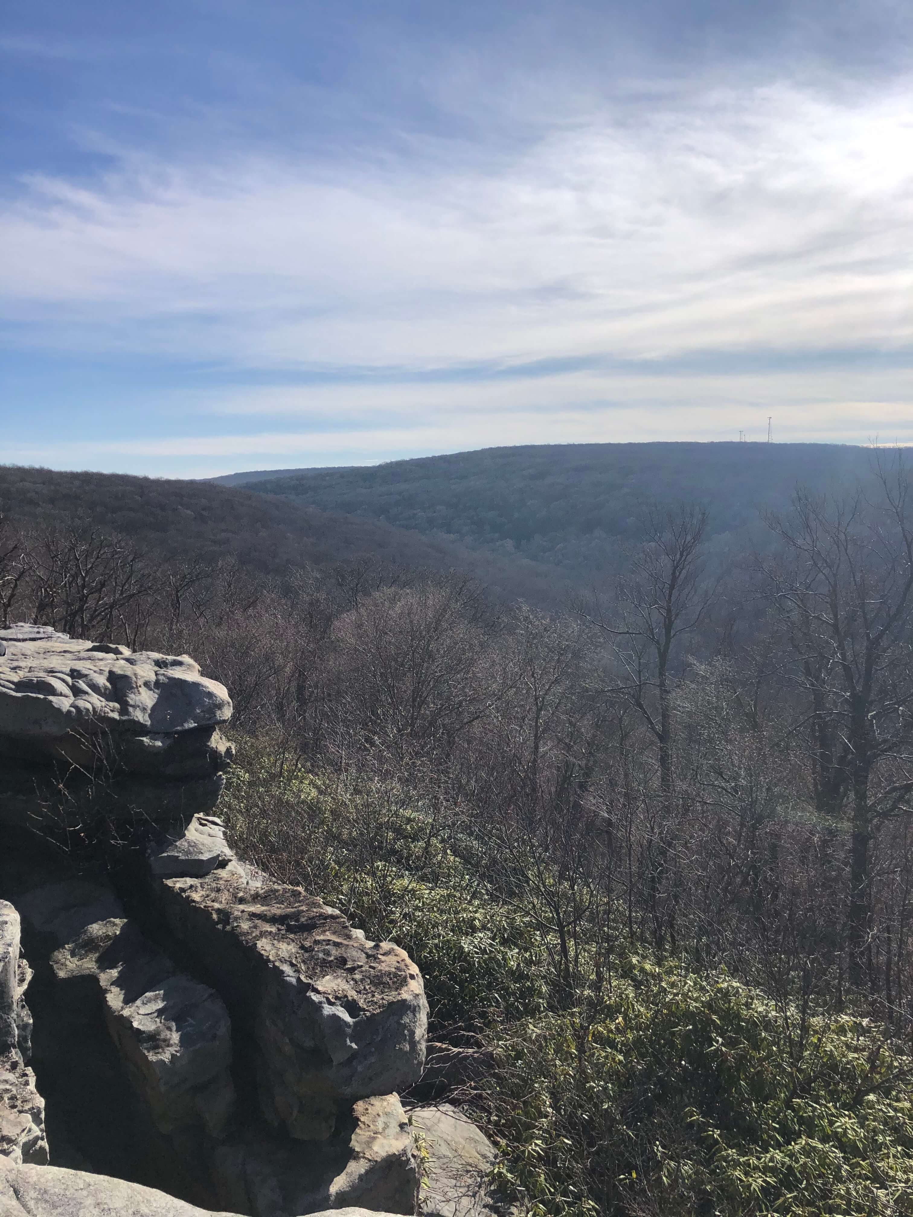
A few routes head toward Blue Hole using the Camp Run climbs or start at the Fire Tower lot. These routes use parts of the death march climb mentioned above. The climbing is worth it in our opinion as the roads and scenery around Blue Hole Creek are fabulous. Also, you can take a dip in the “Blue Hole” (see the above pic). Check out Cole Run Falls. Or just enjoy the peacefulness and serenity of the area. This section of the forest is special.
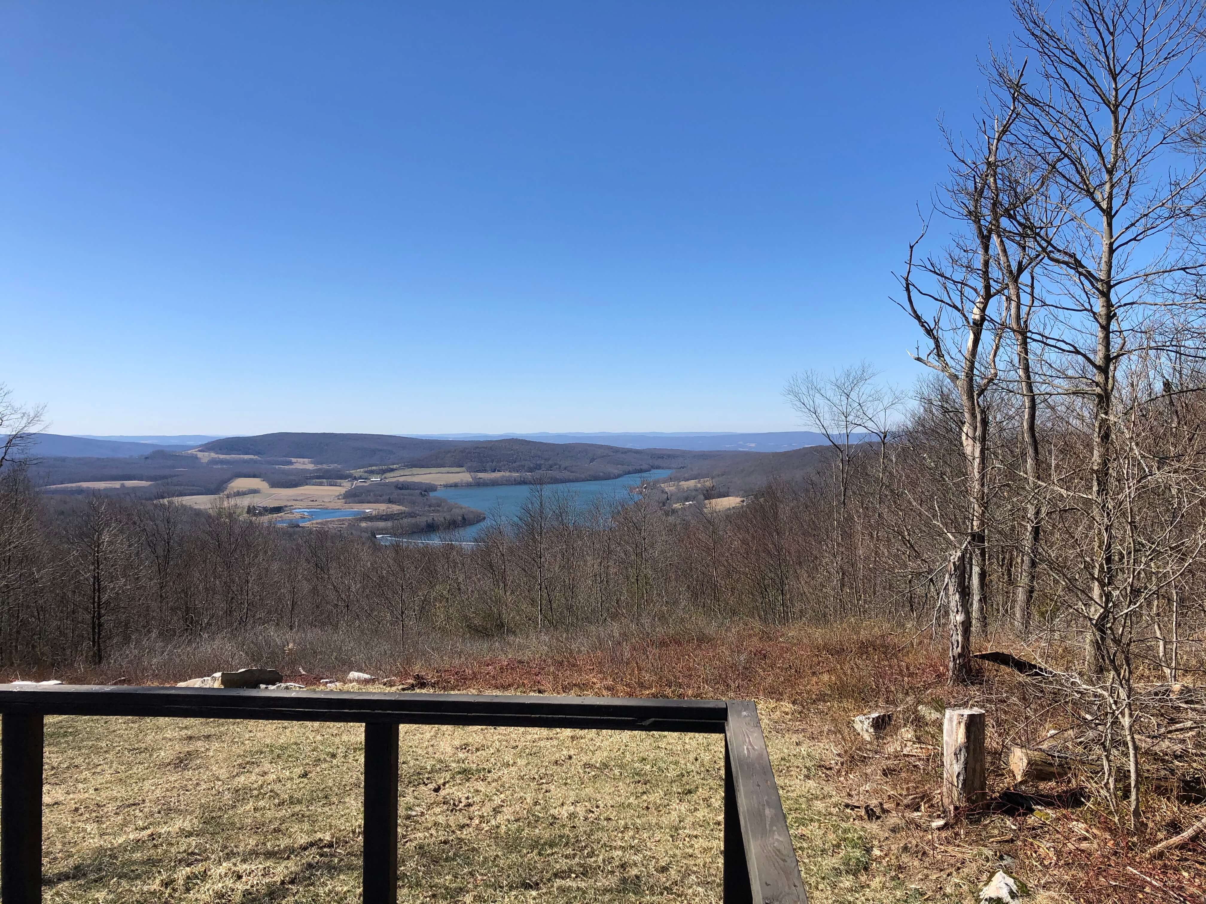
Laurel Hill State Park to Laurel Mountain
After enjoying the Blue Hole area, most of those routes head north to Laurel Hill State Park. This state park is fabulous for hiking, fishing in the park lake or streams, exploring the CCC camp and remnant structures, and the list goes on. Just beyond Laurel Hill, you’ll head past Camp Conestoga, a Boy Scout Camp, via a sweet stretch of gravel on your way north toward Laurel Mountain. Once you exit Camp Conestoga, you will hit the longest stretch of pavement in the core routes, Jimtown Road to West Bakersville Edie Road. The latter connects Route 31 to the PA Turnpike further east than the routes that head to Laurel Mountain from the top of the Camp Run climbs.


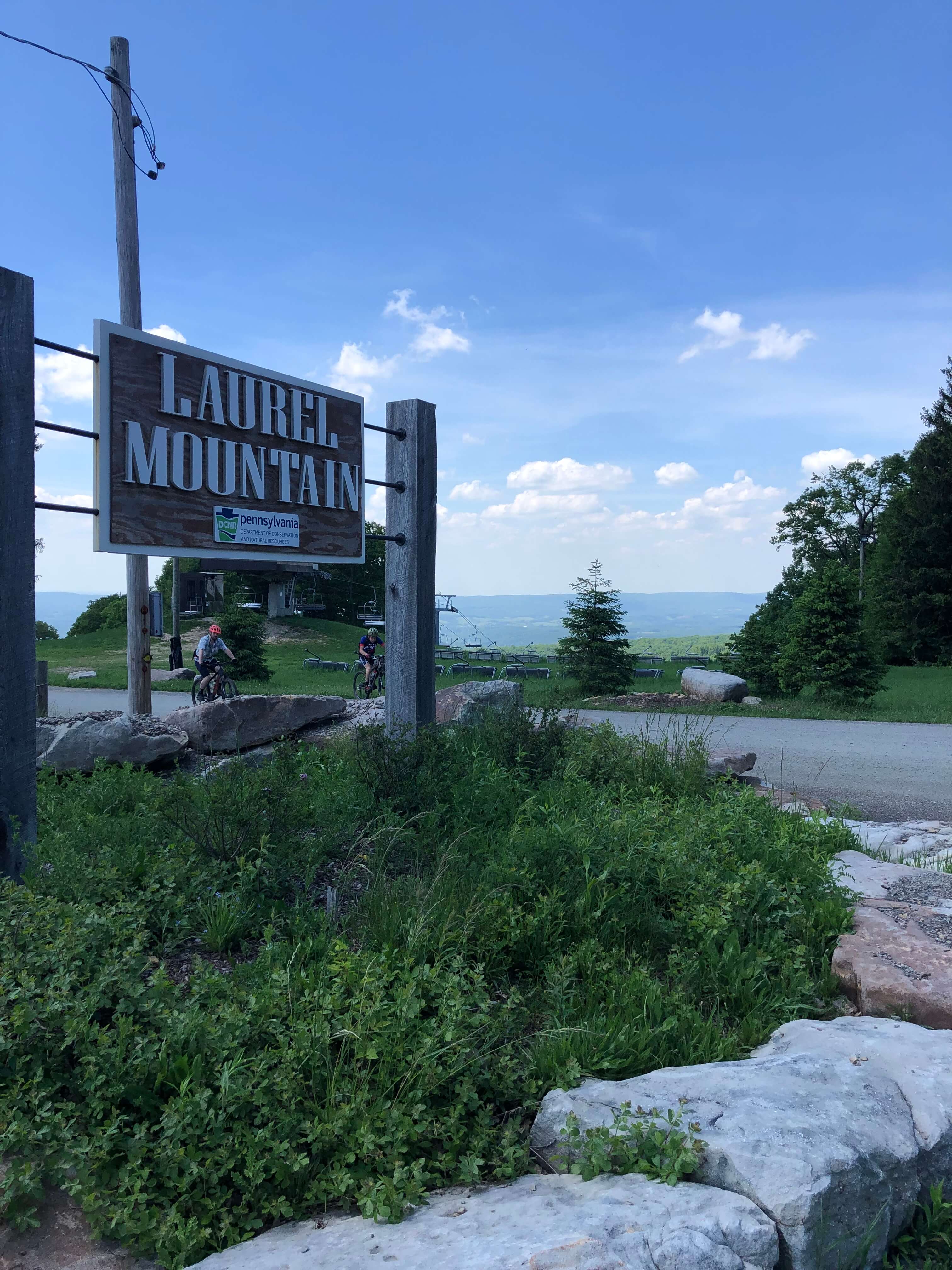
Laurel Mountain
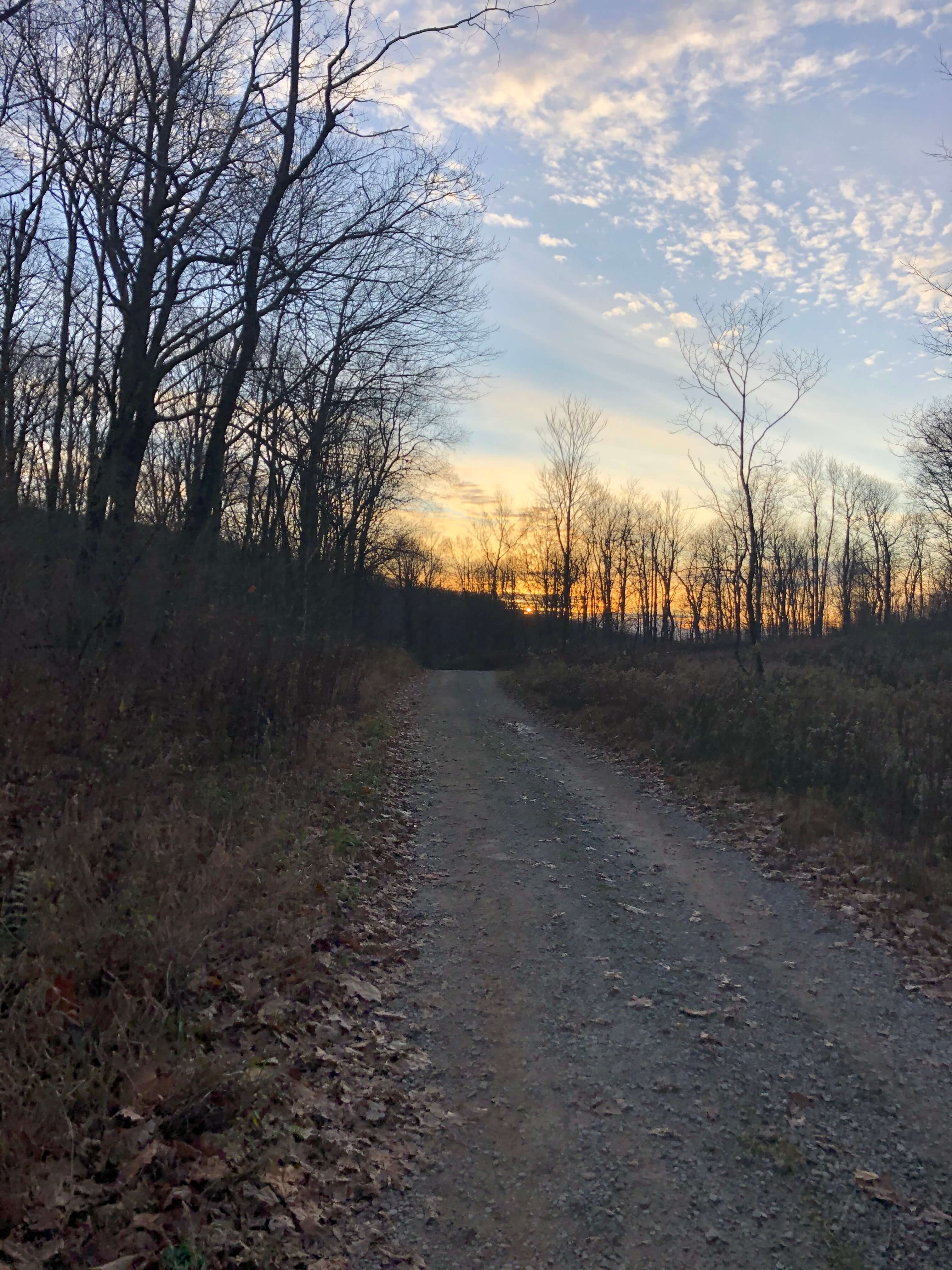
Once past the Turnpike, you’ll be back on the forest land of Laurel Mountain. Laurel Mountain is equally as peaceful and serene as the Mt. Streams and Blue Hole areas. Old growth trees and beautiful rock outcrops dominate the landscape.
As indicated above, Laurel Mountain’s roots are in the Industrial Revolution, which you can still see today. Timber, stone, coal, and other raw materials were once harvested or mined by private enterprise. The materials were taken to population centers via the PW&S (Pittsburg, Westmoreland, and Somerset) railroad. The rail grade is still present today, but is now used as a road/trail for outdoor enthusiasts to enjoy. The PW&S Rail Grade, as it is now called, is a representation of the area’s past and present. Similar to Laurel Hill State Park, there are many non-cycling related outdoor activities on Laurel Mountain, including mountain biking trails, hiking, cross-country and downhill skiing, rock climbing, and sightseeing. See the Points of Interest section below for a few ideas.
Return from the Laurel Mountain Area
The routes that go to Laurel Mountain return south towards either the Camp Run or Fire Tower lots via some combination of the roads and trails described above. In other words, you’ll be treated to more quiet and lush forest roads and snowmobile trails. Just in reverse.
Most of the roads/trails back contain moderate climbs or trend down, except two that we haven’t mentioned. Those include Shaffer Run Road and a snowmobile trail connecting Tunnel Road to Camp Run Road near Route 31. Shaffer Run is idyllic, but pretty steep. Also, a few of the routes that use the Shaffer Run climb access it via Pond Hill Road. This road is marked private, but those signs appear to be posted by locals to stop ATV traffic. The roads around Pond Hill are pretty remote and gnarly. If you are uncomfortable, use Moore School Road to access Shaffer Run. It is a pretty sweet and smokin’ fast gravel descent.
The snowmobile trail off of Tunnel is short, but cruelly steep. Just a word of caution. Shaffer Run is hard to bypass, but the snowmobile trail can be bypassed if you started from the Camp Run lot by descending Aukerman further back on Tunnel Road. If you parked at Fire Tower, you’ll have to suffer the climb.
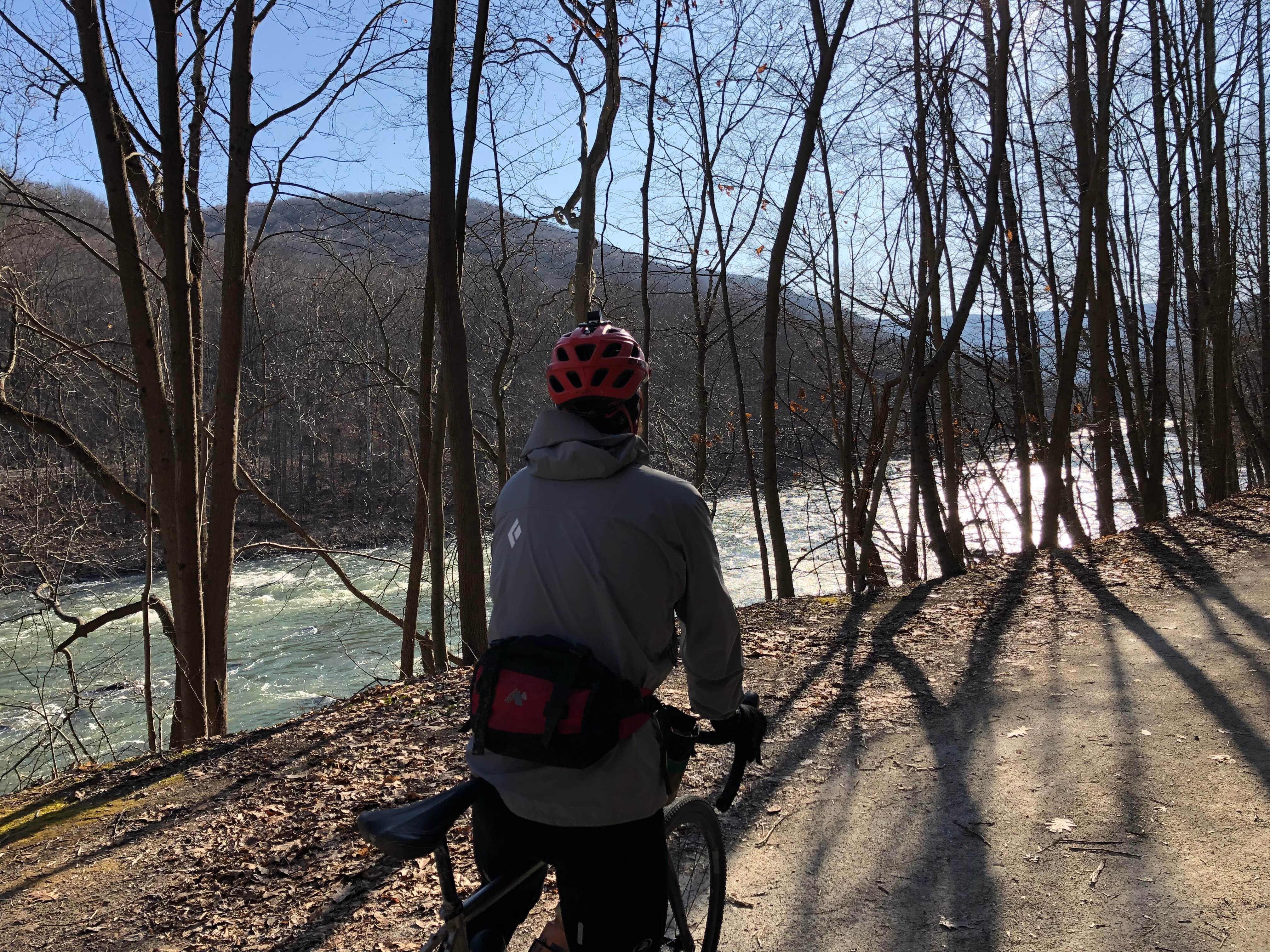
Ohiopyle


There are two routes in the Ohiopyle area. Ohiopyle is an awesome town, known for its whitewater and access to the Great Allegheny Passage (GAP). Both routes start/end in Ohiopyle. The first route explores more of the Ohiopyle State Park area and the nearby State Game Lands and mountain countryside. Although the route contains a bit less public lands than the core routes and a tad more pavement, it is a nice mix of terrain.


The second route in the area is inspired by and credited to The Quick & The Dead Gravel Race that takes place around the third week in September each year. No need to reinvent the wheel as the event creator put together a fabulous route. This route uses the short race course, which is everything on route but for the GAP trail from Ohiopyle to Confluence and back. We rode this route on a warm day in February 2020. Word of warning: the GAP trail is soft at this time of year or when it has experienced significant rains. It could be a slog at those times.
Similar to the first Ohiopyle route, the second traverses less public lands than the core routes. However, the mountain towns and countryside will not disappoint. You will also climb to Mt. Davis, and can hit up the fire tower at the top of the climb to get an amazing view of the area. Cycling Tips recently published an article on The Quick & The Dead Short Course. Check it out for more details.
Quebec Run Wild Area


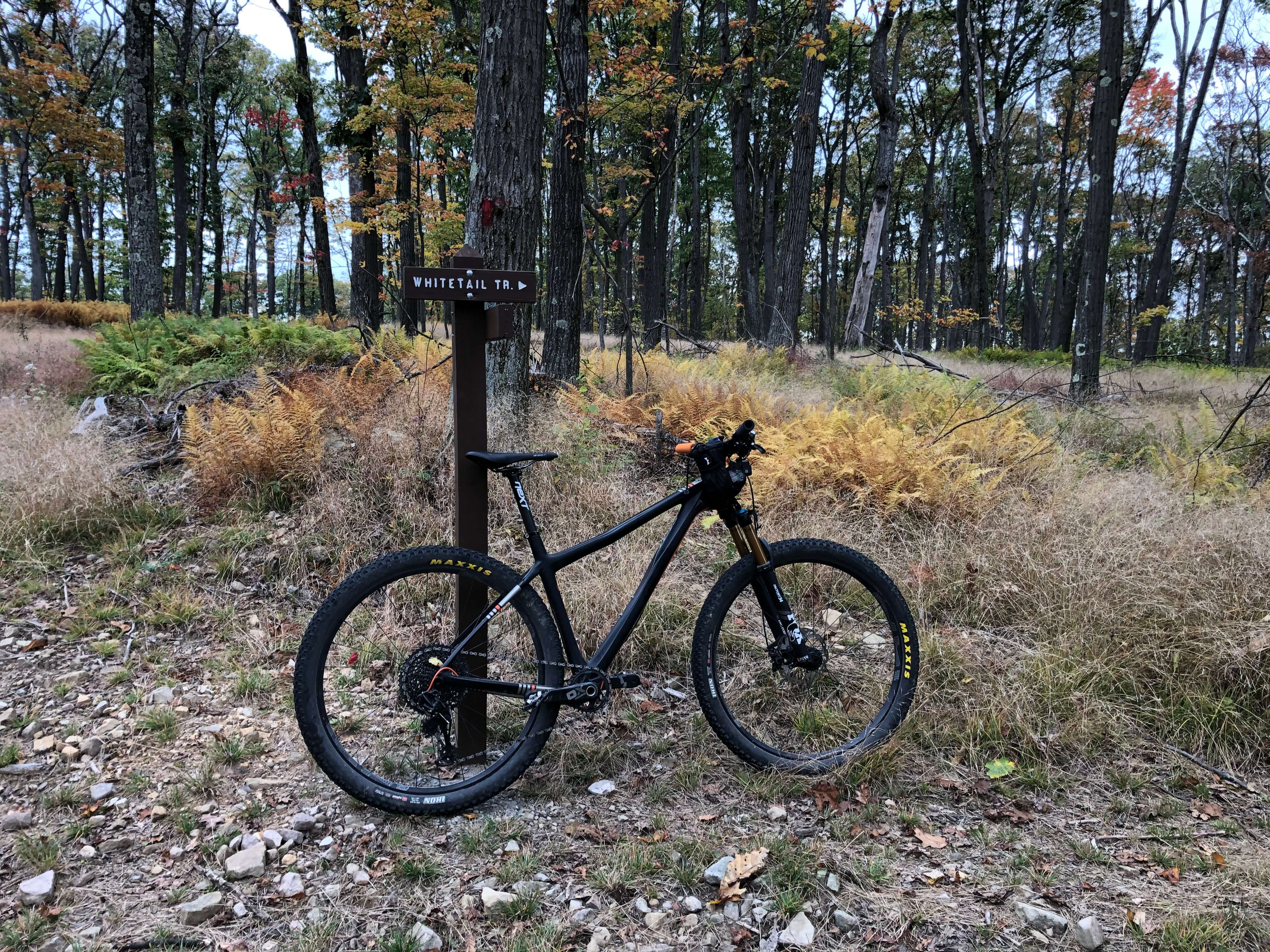
The Quebec Run Wild Area route is the furthest south and most isolated route in the collection. In fact, we caught some black bear glimpses the last time we were out. This route contains more pavement and less public lands than the others. The roads are not busy, and appear to have once been unpaved. The route provides a nice changeup to the otherwise mostly gravel routes in the collection. The one dilemma you will have is bike choice. While nearly all of the route takes place on paved roads and tame gravel, the last four to five miles are on rocky singletrack trails most suited for a mountain bike. This is the Laurel Highlands version of the Rule of Three, stoking the longing question – what tires are best for the job?
Link to Routes in the Laurel Highlands Gravel Routes Collection


The Laurel Highlands Gravel Routes Collection is on Ride with GPS. There you will see all of the routes on the collections map.
Points of Interest
As indicated throughout, there are countless things to do in the Forbes State Forest off the bike and many things to see or detour to while on the bike. Below we provide a quick bullet-point list of the points of interest highlights by the forest sections explained in this article.
Mt. Streams Area
- Mt. Streams Trail System and the many stream crossings near it
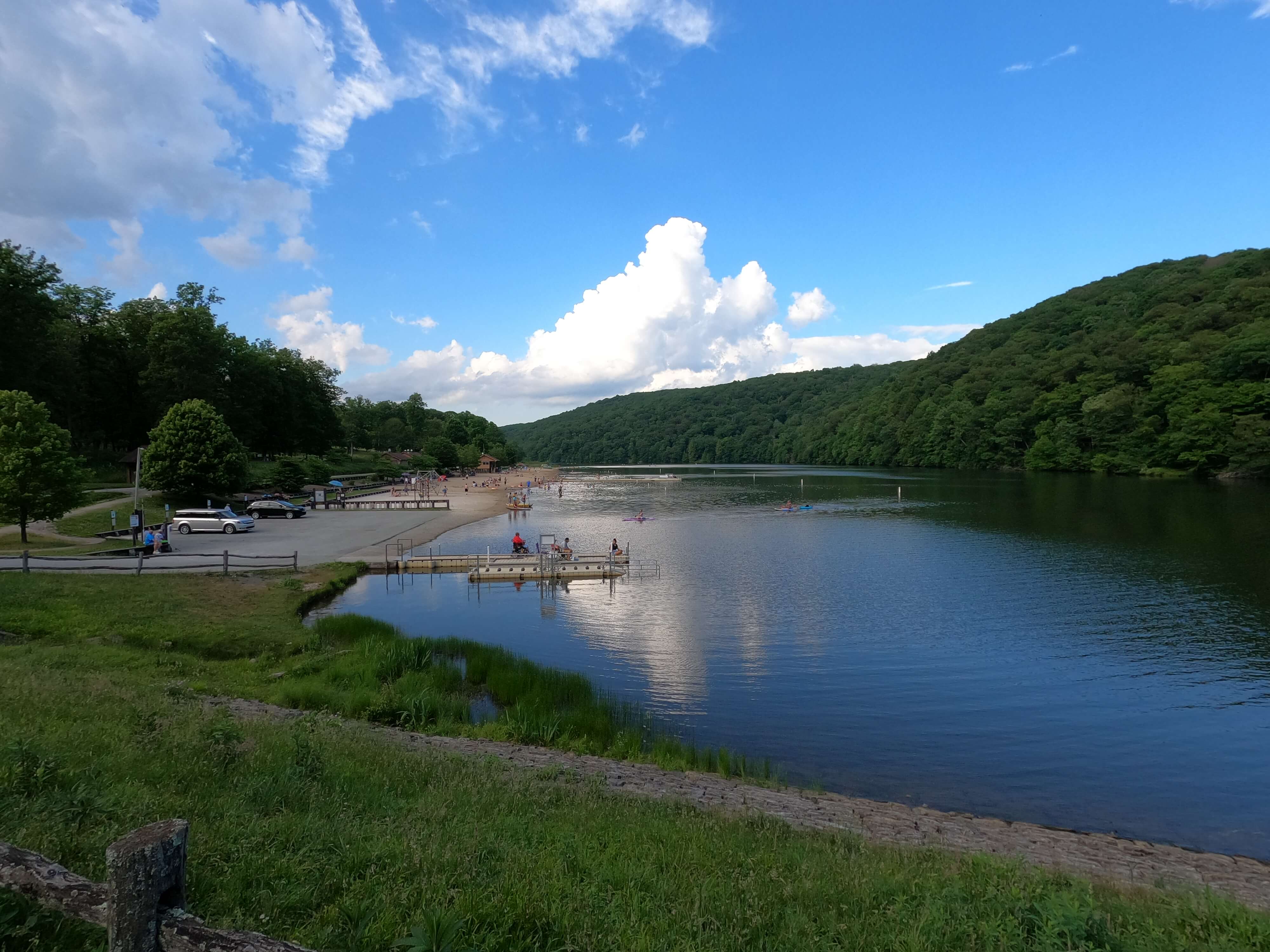
Seven Springs/Laurel Hill/Blue Hole
- Blue Hole Creek and the Blue Hole
- Cole Run Falls
- Hidden Valley Resort
- Seven Springs Mountain Resort
- Laurel Ridge Cross-Country Ski Center
- Laurel Hill State Park
- Kooser State Park
Laurel Mountain
- Spruce Flat Bog
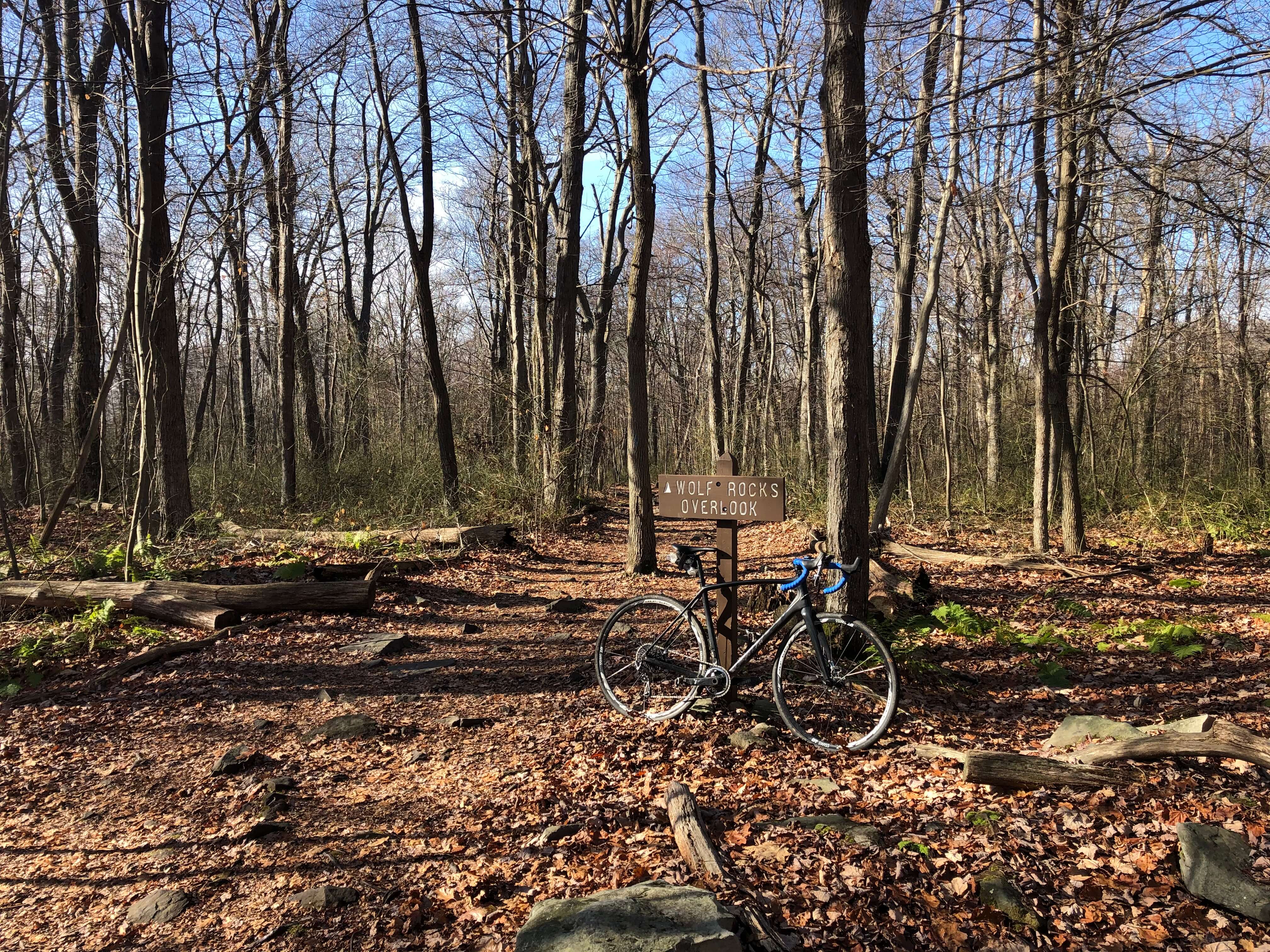
- Wolf Rocks
- Beam Rocks
- PW&S Rail Grade
- Fort Ligonier
- Laurel Mountain Resort
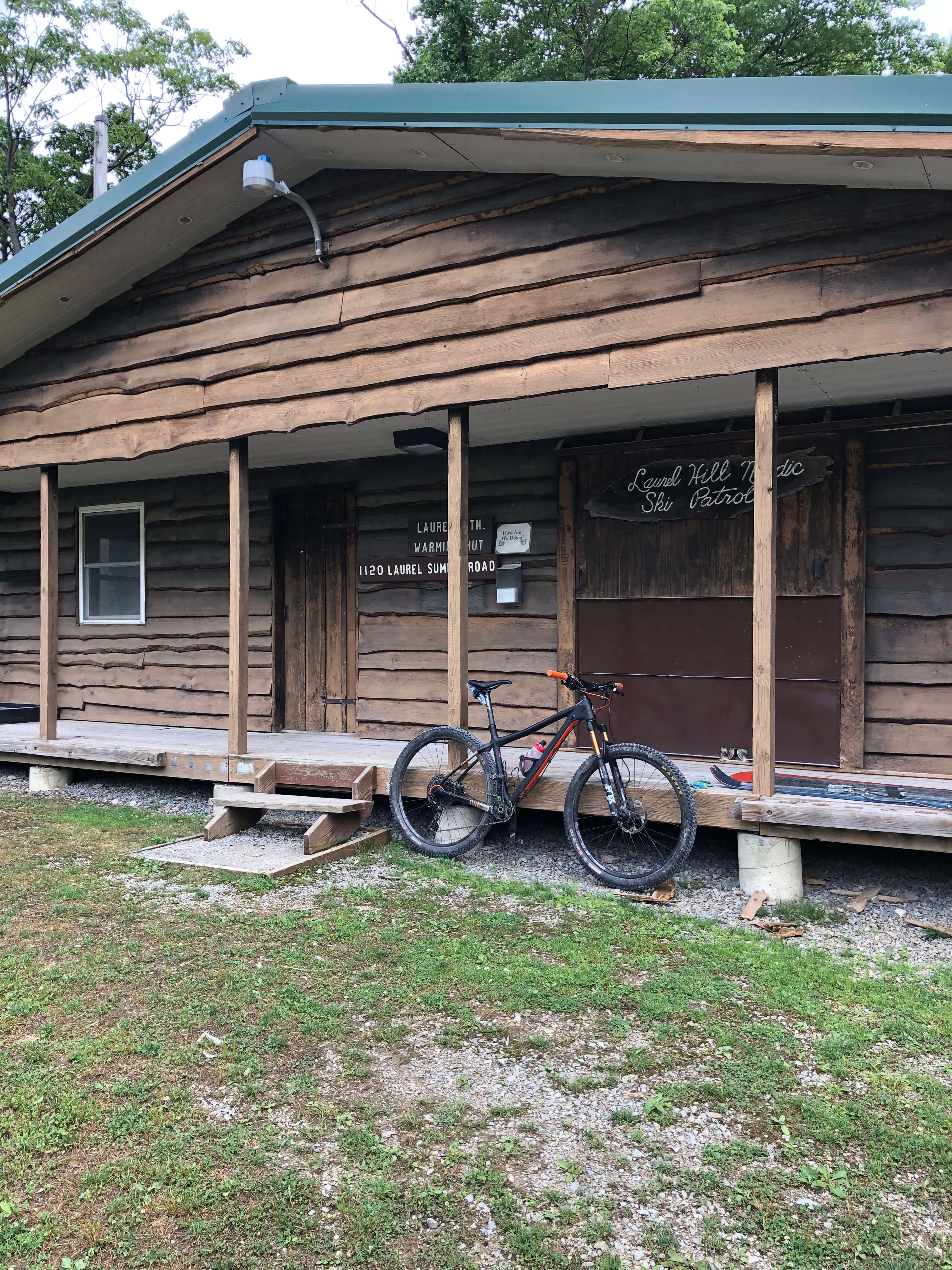
- Laurel Mountain Nordic Ski Warming Hut
- Linn Run State Park
- Adams Falls
- Flat Rock
- Laurel Summit State Park
Ohiopyle
- Mt. Davis (PA’s highest point)
- Fort Necessity National Battlefield
- Bear Run Reserve
- Ohiopyle State Park
- Jonathan Run Falls
- Meadow Run Waterslides
- Ohiopyle Falls
- Cucumber Falls
- Fallingwater
- Kentuck Knob
Quebec Run Wild Area
- Quebec Run Wild Area trail system
Another can’t miss is the the Laurel Highlands Hiking Trail. Almost all of the routes (except the Quebec Run route) are near or pass by the Trail. It is a 70-mile hiking only trail that goes from Ohiopyle State Park to the Conemaugh Gorge near Johnstown. It is the main feature of the Laurel Ridge State Park.
Other Resources
Any riding or outdoor adventure warrants research and access to useful resources. Research for a PA adventure is not complete without browsing the PA state park and forests websites. A good launching pad for research outside of this article begins on the Forbes State Forest homepage. From there, you can find information and links to many of the points of interest listed above and to many more and can find maps of many of the areas. The forest public use map is a must. The snowmobile maps are also handy. You can grab copies at many of the main forest access points.
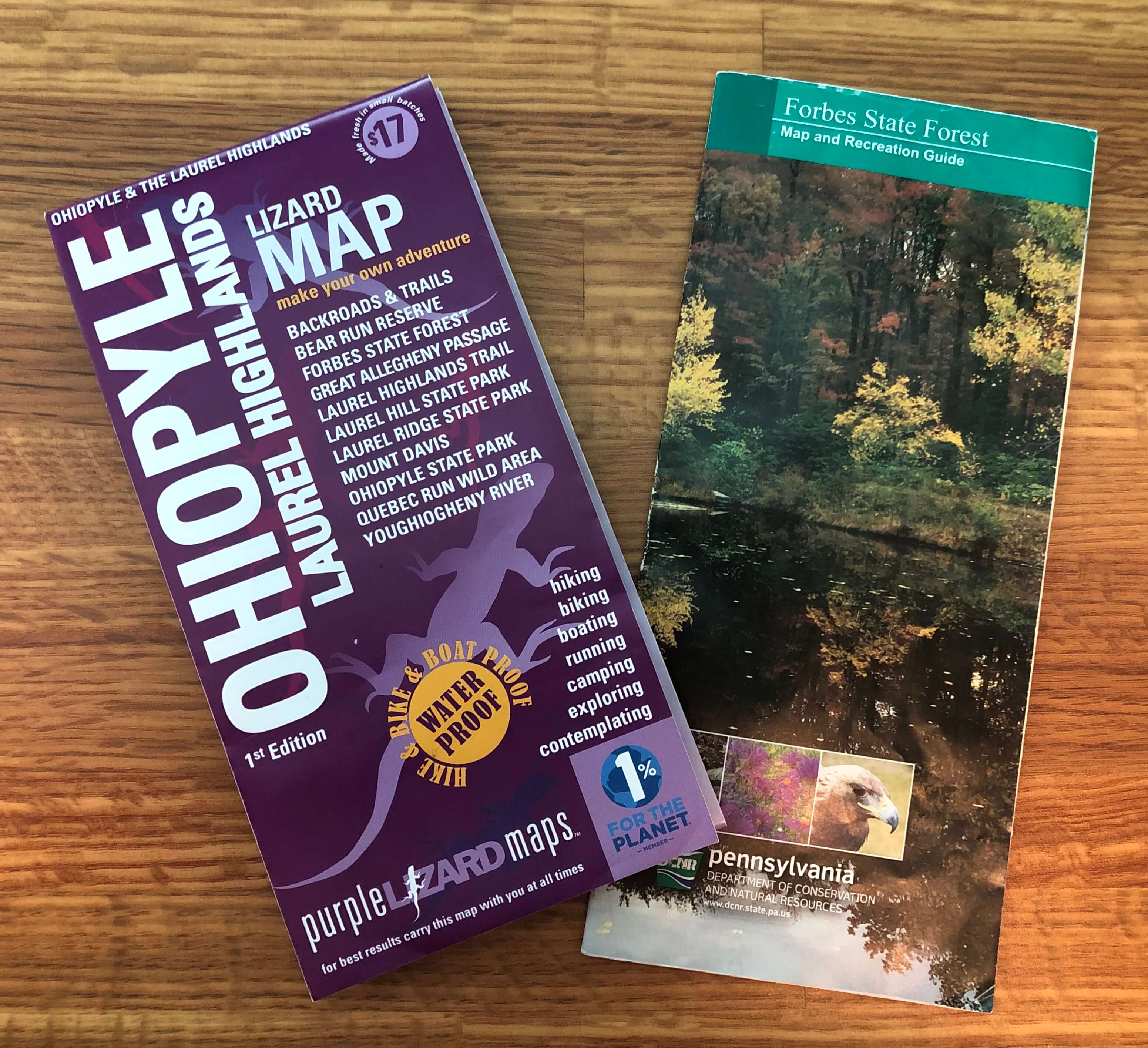
Another great resource for most PA outdoor adventures is Purple Lizard Maps. Purple Lizard has great, high-quality maps and adventure lists. Grab a copy of the Ohiopyle-Laurel Highlands map. We definitely use it! You can also check out Purple LIzard’s Adventure Blog. They have some great posts about suggested excursions in the Laurel Highlands.
Finally, the Laurel Highlands Visitors Bureau has a trove of information on its website. The attractions and things to do expand well beyond the forest. They also have links for things to do and places to stay that span the entire Laurel Highlands area. Check them out for ideas and the wealth of knowledge they hold about the greater LH.
Directions to Camp Run Road Lot
Directions to Fire Tower Road Lot
Directions to Ohiopyle Lot
Directions to Quebec Run Wild Area Lot
Post Activity Aprés Suggestions
The Camp Run and Fire Tower lots make for a great place to plan your own post ride gathering. However, Helltown Brewing is located in Mt. Pleasant, about a 20 minutes drive. Helltown doesn’t offer food. JB suggests you pre-order and pick up a pizza at Lobingier’s Restaurant to enjoy at Helltown. He has been going there for 30+ years, and thinks the pizza is the best! Mt. Pleasant has some of the best restaurants in western PA, so do a little digging if you aren’t in the mood for pizza. You can also check out Hidden Valley Resort or Seven Springs Mountain Resort to see what’s going on.
Ohiopyle is located on Youghiogheny River. Because of the endless outdoor possibilities briefly discussed above, Ohiopyle is home to several restaurants and shops. JB’s personal favorite is the Falls City Pub. The food and beer selection is great, there is ample indoor and outdoor space, and they often have live music / a party-like atmosphere. Note that the pub isn’t in town, but is on the other side of the river near Wilderness Voyageurs.
The Quebec Run Wild Area is rather isolated. We suggest planning your own post ride aprés.
Wrap Up
Regardless of the route, you will tackle steep climbs and rugged terrain, and will be off the grid more than not. But will be rewarded by exhilarating descents and beautiful mountain scenery. You will be treated to lush forests, gorgeous mountain streams, and spectacular landscape. Enjoy yourself out there, and, as always, ride on!
If you liked the Laurel Highlands Gravel Routes Collection summary, please share it with your friends and family. Also, make sure you keep up-to-date on all The Hub’s content by following us on social media (links on the top and bottom of this page), and by entering your info into the Newsletter signup (to the right and bottom).